Hello,
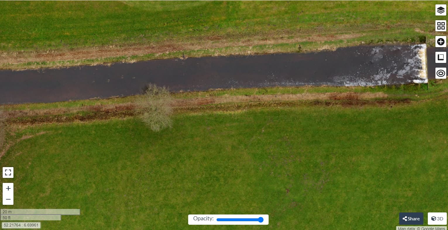
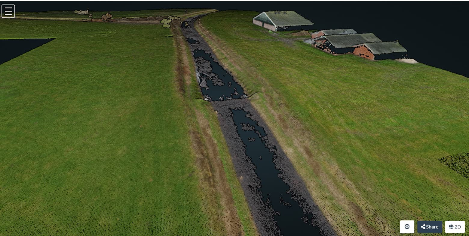
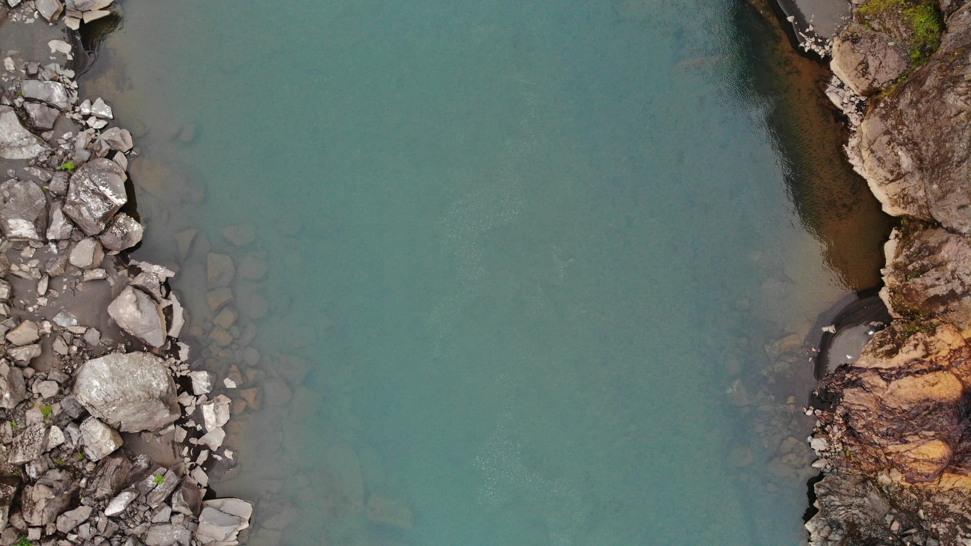
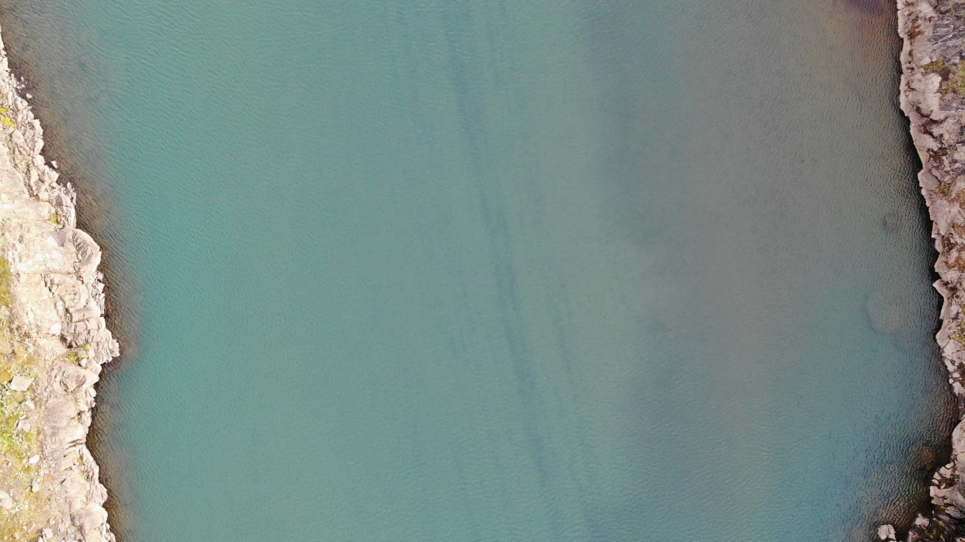
Got a project which involves mapping a 70km of river. Goal is to create orthophoto and if possible a model where the riverbed can be seen. It’s to identify area which is suited for salmon to be released in. This is a salmon fishing river. Wondering if WebODM is capable of creating a model of the riverbed.
Lets say the clarity of the water is quite good, would that be enough or is water still a challenge?
Below are images of the river. For now I’ve only done short flight looking straight down just to see if the river is clear enough to see the bed.

Plan is to fly ones over with camera just facing down to make an orthophoto. Hopefully that’s enough.
If not and a model must be made, any tips on how i should do it? I’m thinking flying up and down with camera tilted 30-45° would do it. Of course more images are better but this is quite the length to fly.
Also, just bougth a Mavic 3 and it seams Pix4D and DroneDeploy don’t support it to make missions for capturing areas. Are the some other programs people have used to use it as mapping drone like OG Mavic is? *I´ll fly the river mission manually so this isn’t a major problem luckily ![]() *
*
I’ll probably ask for processing tips after capturing ![]()
All help appreciated!