Working on an updated OpenDroneMap website and I want to showcase datasets from you all there. I don’t really want to structure a contest or anything complicated. I’d like to build it as follows:
You submit a dataset you would be happy to see on the website
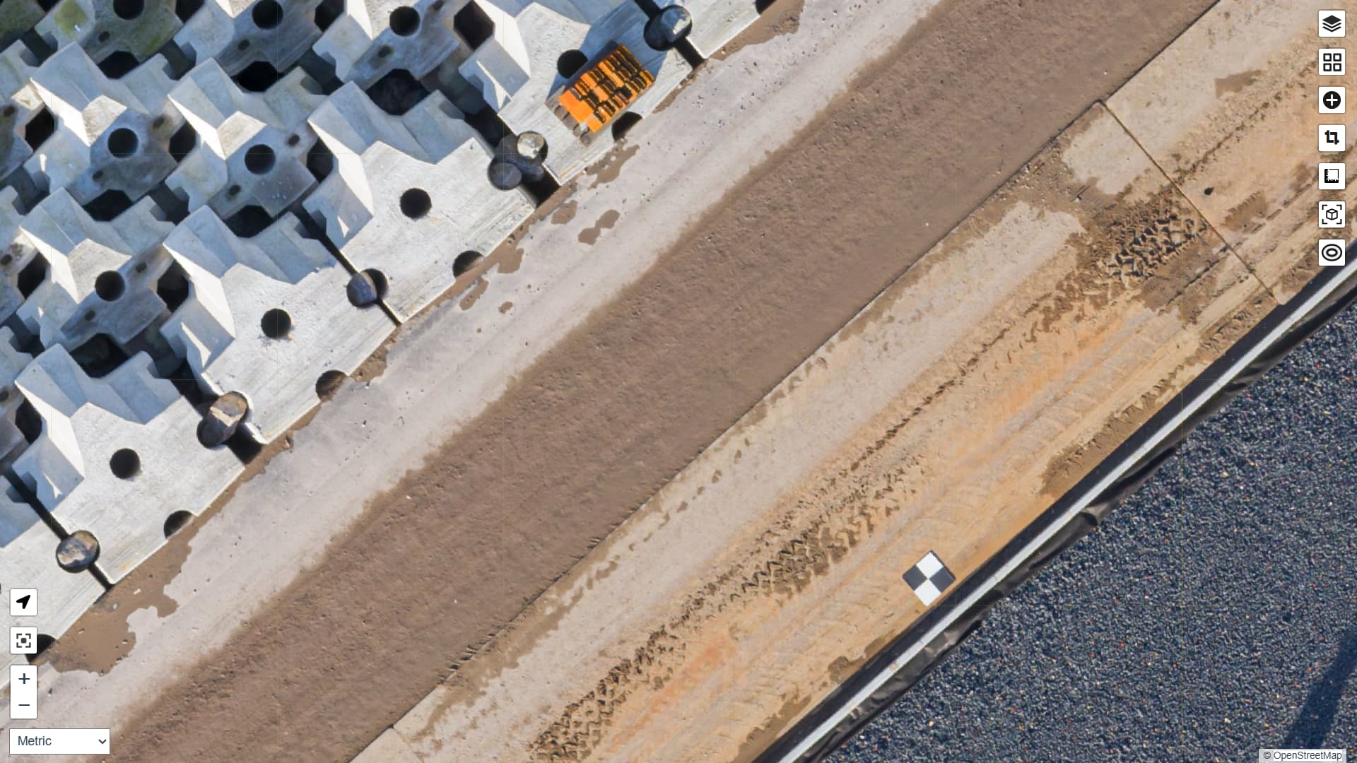
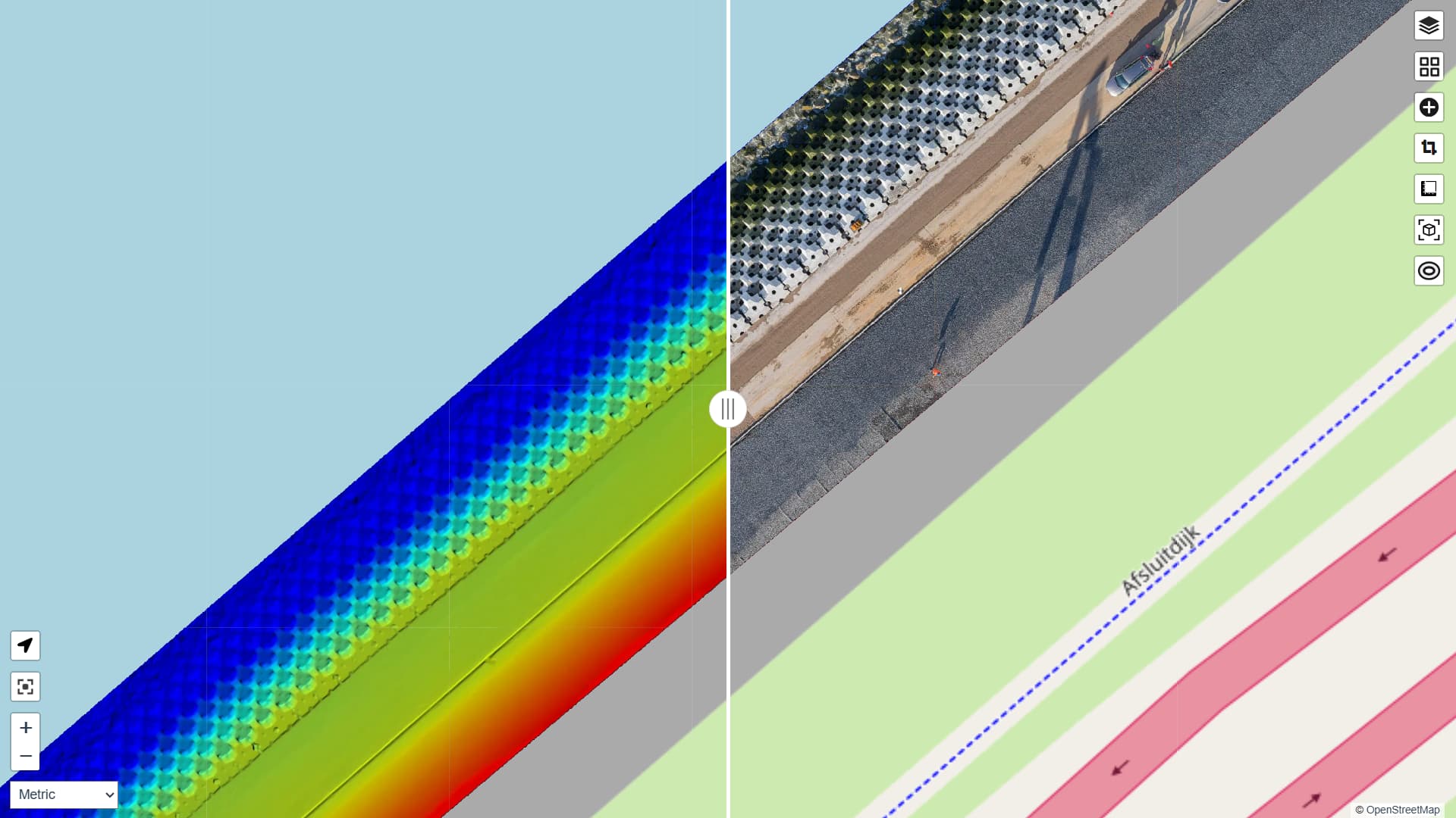
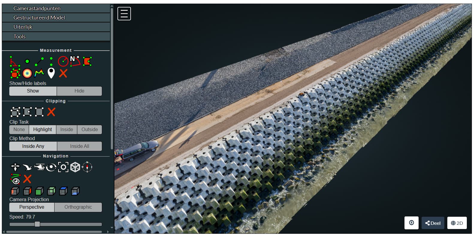
Screenshots welcome of point clouds, textured meshes
But: I’d also like either an export of the processed data or a link to the data hosted otherwise on the web in case it needs re-framed or otherwise modified to fit into the website
And just to give a little clarity on process (as I had a good question on LinkedIn about how to submit):
To submit, reply here with a screenshot and link to your data (a cloud sharing link of your processed data works great). If the data are sensitive and you can only share a screenshot, then make it a great screenshot and we’ll try to work it in.
This is a great idea, I think I have allzip files if needed :-), without mentioning it, it's fine with me just as much, it's for participating.
Laurent
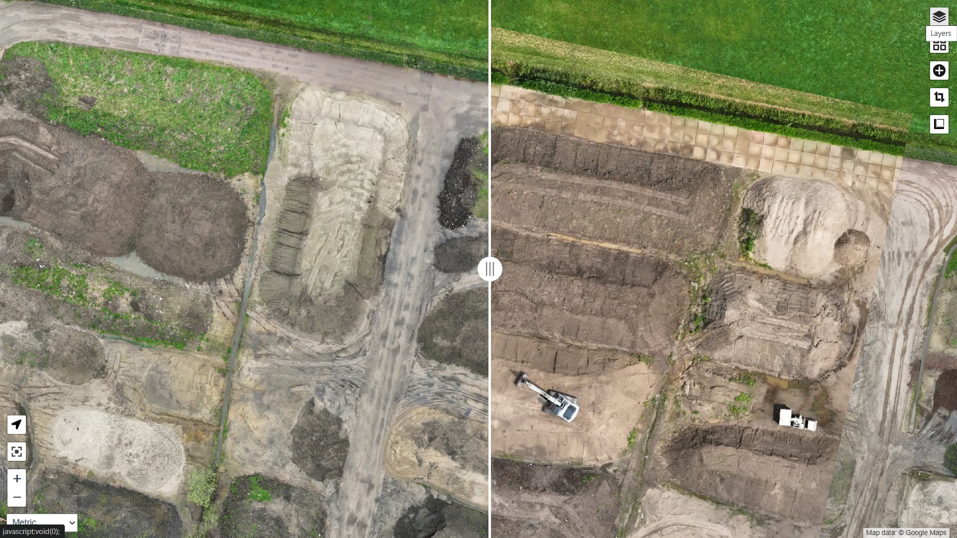
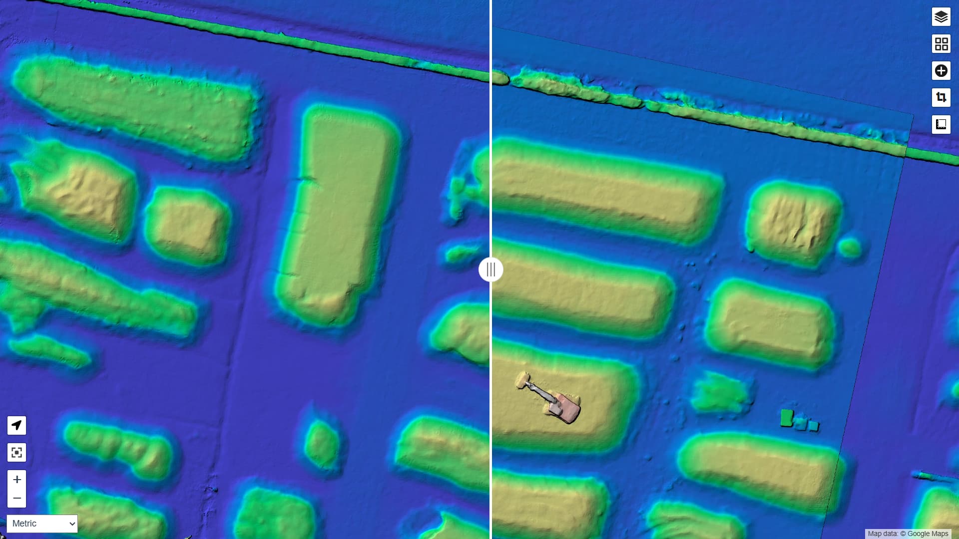
A first reply with a pretty specific use-case. In the Netherlands organisations need to have a permit for storing (large) depots of ground. In a permit a maximum height is defined, for example 10m above a specific reference point. This maximum height can be monitored with drone in combination with WebODM.
Location: Sand depot, Netherlands
Organisation: OMWB (https://www.omwb.nl/)
Subject: Monitoring amount of sand above a specific (permitted) heigh.
Article:
Date: 2025
Specs: GSD 2.0 + RTK