Last week I processed a mapping with circa 9000 photos, GSD 2.0, about 21 flights.
Drone: M30T
Camera orientation: nadir
Flight alt: 120m
Overlap: 80% horizontal, 75% vertical
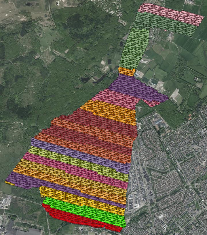
The individual flights were “continued” after a battery switch, resulting in a new flight. So we didn’t overlap the individual flights (as well).
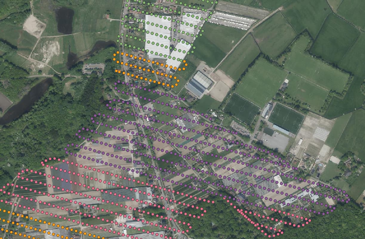
As Gordon already mentioned you can take several precautions. In our case it was enough just to make the nadir images.