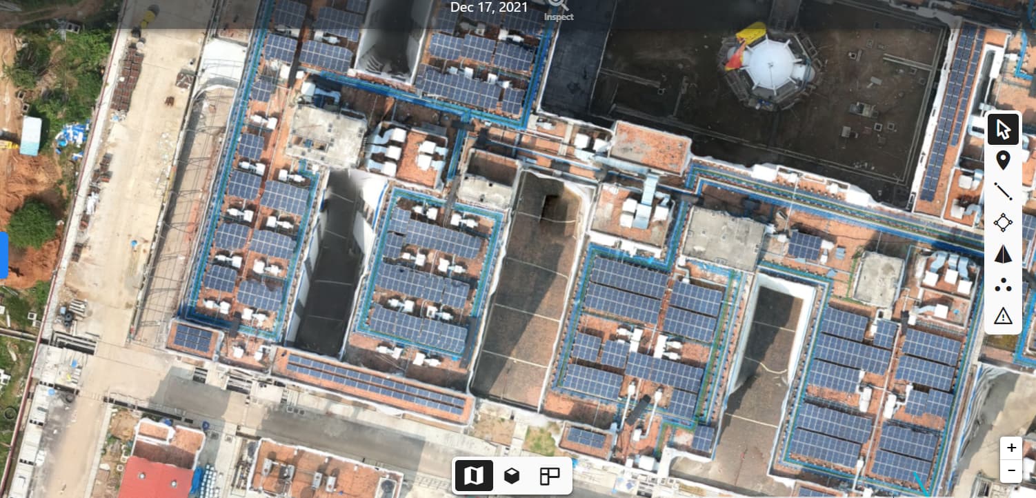
Then I processed with Dronedeploy and the results were better. I observed the Processing report and I increased our --mesh-size to 4000000 & pc-quality to Ultra and the results improved as compared to DroneDeploy.
But I noticed few things which might require some tweaking to achieve the Dronedeploy result.
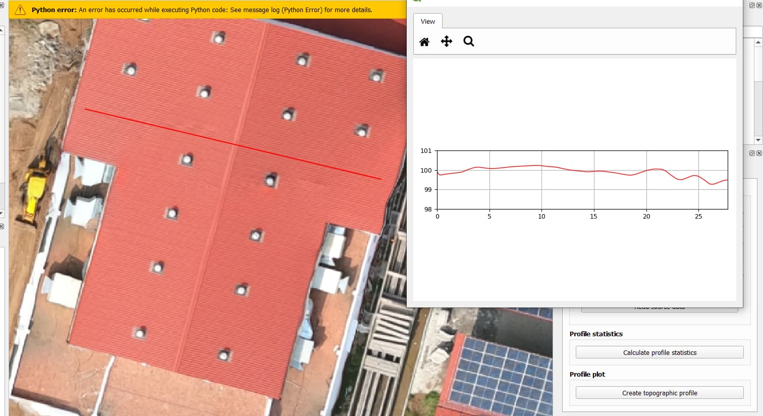
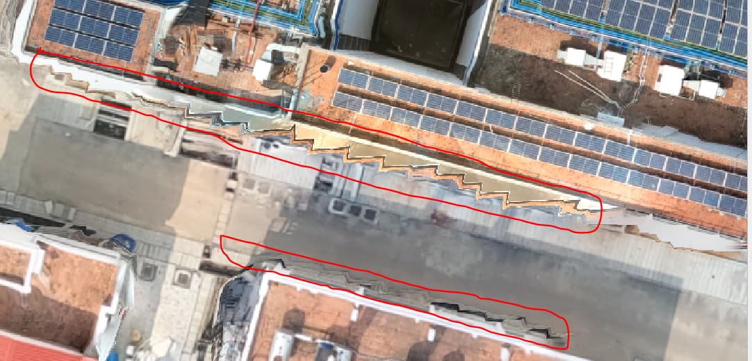
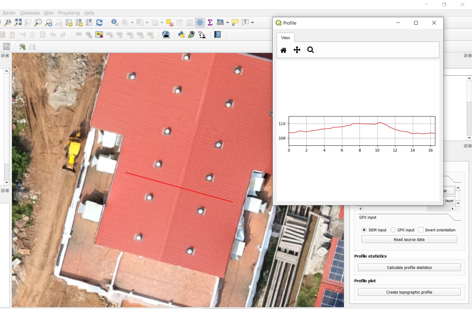
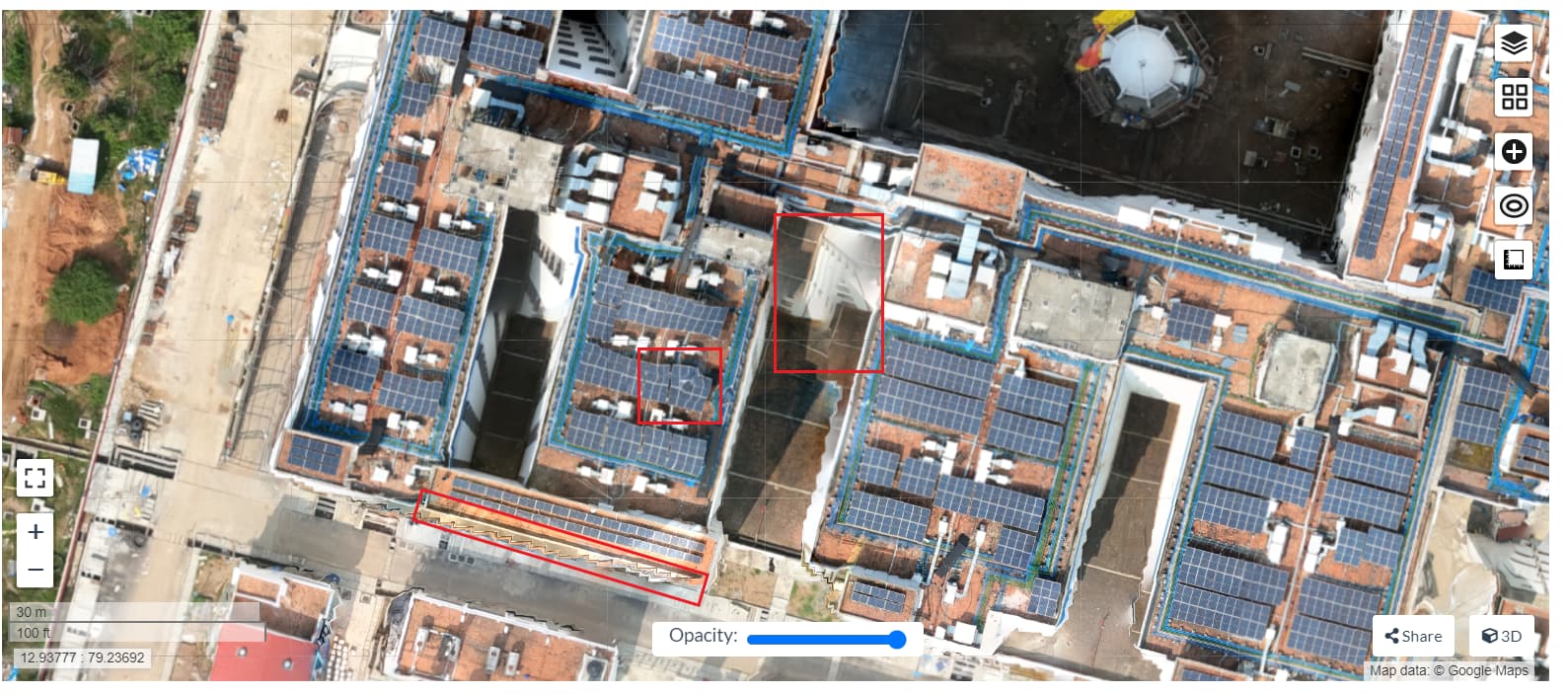
This is our WebODM elevation profile. Edges are better this time but still I guess there can be scope of improvements with better parameters. Also, the elevation profile generated by Webodm is not smooth enough.
The latest parameters which I used are:
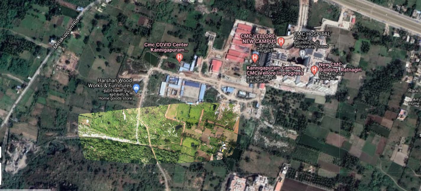
The total area is around 60 hectares. I tried increasing --mesh-size to 4000000 (looking at the Dronedeploy report which I have attached in the post too). After increasing the mesh size too, I got kind of similar result.
However, since their configuration files are easily read, I grabbed their values for various quality setting tiers to make direct comparisons of reconstruction a bit closer.
Much like increasing --pc-quality or --feature-quality, raising --mesh-octree-depth greatly increases the RAM usage, in a non-linear fashion.