I am trying to find a time series dataset. The size (how large the covered area is) doesn’t matter as much as the consistency of data collection.
Is anyone willing and able to share with me maybe a month worth of data collection on a field for me to test a couple things before I jump heads first into collecting data myself? It’s autumn in Europe, so collecting data for me would only be possible starting from April when Agriculture picks up again.
I am looking for multispectral imagery for NDVI analysis.
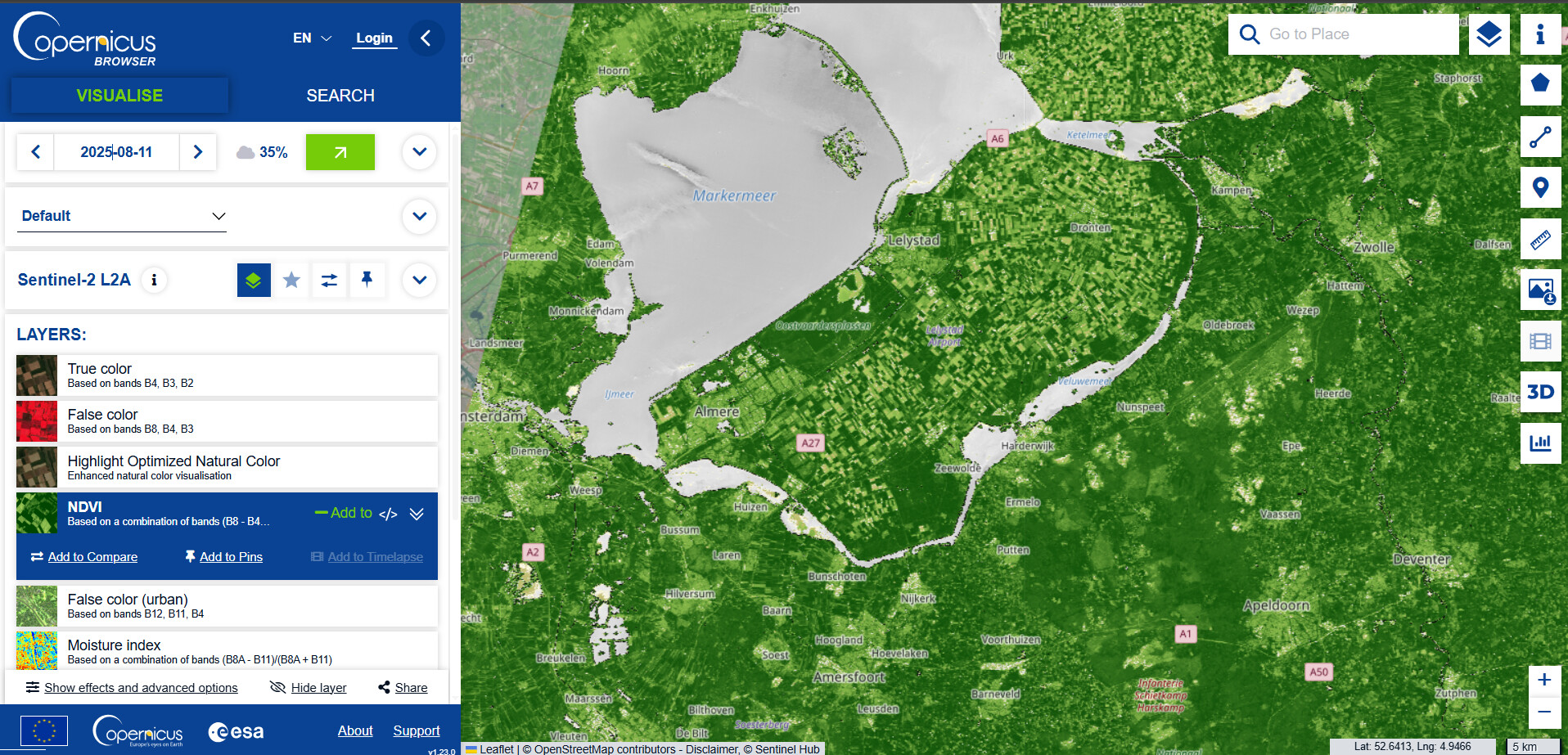
Unfortunately not with drone-imaginery. If you’re looking for European NVDI data you can also try the Copernicus Browser. You can look through a wide range of datasets and define parameters for your seach.
For example for the Netherlands (depending on your parameters such as cloud cover) you can get multiple datasets per month. It’s been a while since I used this, I thought when you register for an account you can also download the data as GeoTiffs.