I’m looking for advice on creating thermal orthomosaics with WebODM for a grassland bird nest protection project. The idea is to fly early in the morning with a DJI Matrice 4T — at that time, warm nests and eggs stand out clearly against the cool grass — and then evaluate the data based on thermal orthomosaics. The goal is to automate the whole workflow: automated flight, automated processing, automated hotspot detection.
The terrain is large open grassland, which means very homogeneous texture and hundreds of images with only tiny warm spots. My main concern is image matching: what overlap would you recommend for this kind of featureless surface? I’d assume standard 75/75 won’t be enough — would 85–90% be more appropriate?
On the WebODM side: which processing settings work well for thermal imagery from the M4T in this kind of scenario? Particularly curious whether it makes sense to use the RGB camera images to assist with matching and then project the thermal data onto that reconstruction.
For thermal datasets, you’ll need to calculate the overlap for the smaller thermal sensor. There have been some prior conversations about this which you can find here:
You can (ofcourse) make a thermal mapping. As @smathermather mentioned you need to take certain paramaters into mind.
Another option might be the following (that’s how natura / bird agencies work in the Netherlands). Question: Do you need a complete mapping?
You only need one image of a ‘thermal’ hotspot. With the GPS info in the EXIF you can plot these images on a map. The best way is to use Nadir images since then you’re right above the object.
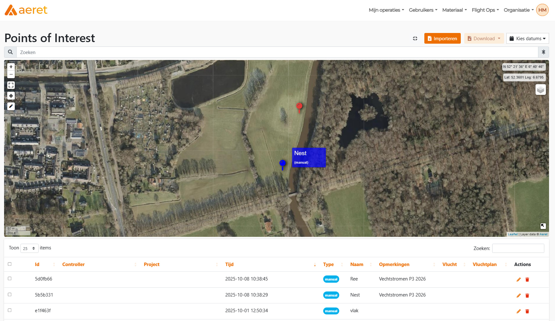
Since you’re working with the Matrice 4T you can also use the Laser Range Finder (LRF). With the LRF you can pinpoint Point Of Interest (POIs) locations on the ground. So while flying (and looking at the thermal camera) you can pinpoint locations. These locations can be downloaded (or synced) and plotted onto a map.
Example
The following is not meant as a sales pitch, just to show (data)possibilities. If this against any forum rules, feel fee to delete the following info.
In our own application we made a live sync between images and Points of interest. Pilots fly and images / POIs are plotted live onto a map. An inspector can use this map to navigate to a location.