1 Like
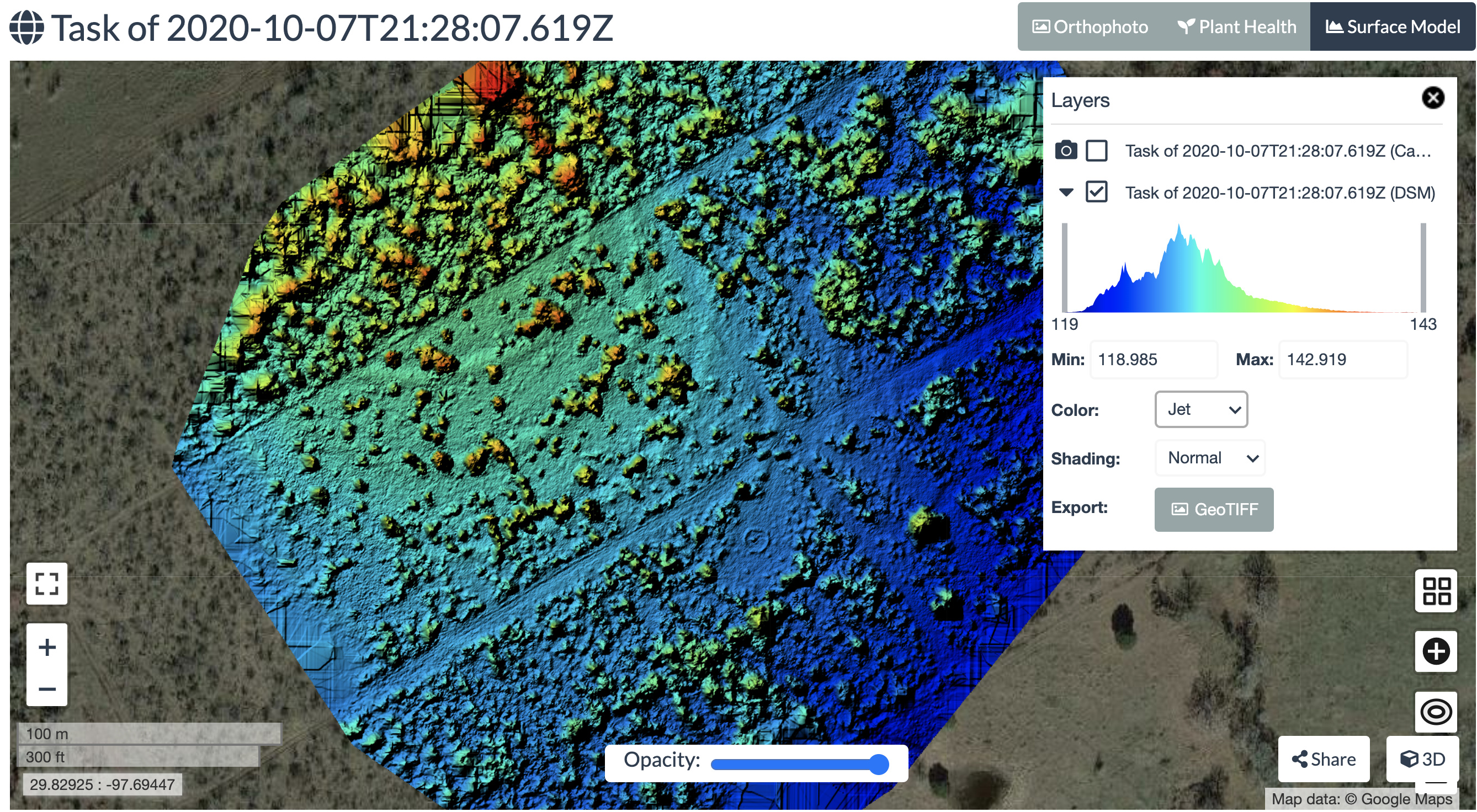
I forgot to add, I am simply trying to determine the highest point on the rendered image, for building purposes. I ran this set if jpegs on high resolution with all other settings at default. I’m unsure if a DSM is the same as a DEM, and if not, which presentation from the 2D or 3D menus should I be looking at?
hi @zryall3
It depends on your needs. I strongly recommend you to explore using qgis, but also you can use the measurement tools in the 3D view. Point measurement tool will show coordinates, and the third is the one you are looking for.
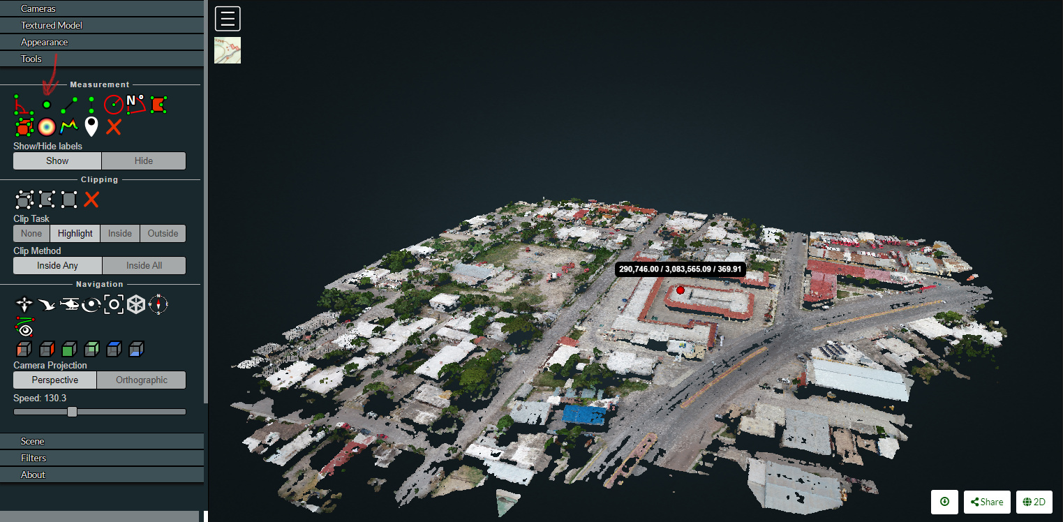
You can do tons of cool stuff in the 3d viewer.

3 Likes
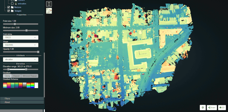
Israelbar, thanks so much for the assistance. I clearly need to gain more basic understanding of mapping jargon, just to understand what I’m looking at. I’ll explore qgis as well. I wish there was a good tutorial just for understanding the 3D options you’ve shown me here. I found my way to them easily but need to invest some time in more learning. For instance, understanding the colors that each layer of a surface map represent. Cheers, Zach
2 Likes
Colors are relative to the data, so don’t put much stock in the exact colors. Look at the trends/ramps.
1 Like
Good to know, thanks again for the help.
1 Like
This topic was automatically closed 30 days after the last reply. New replies are no longer allowed.