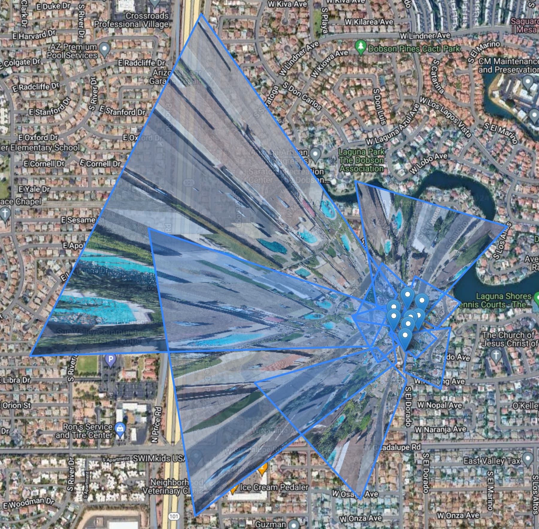
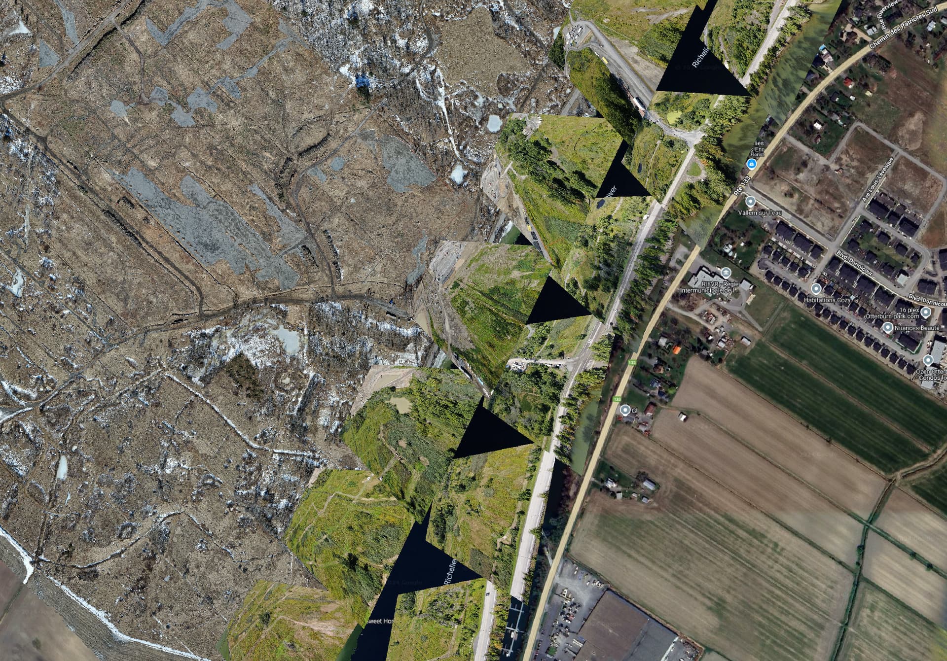
The application DOES process oblique images… to a certain point. The problem is the greater the obliquity, the greater the distortion. At a certain point, it loses all accuracy.
Here’s an acceptable example:
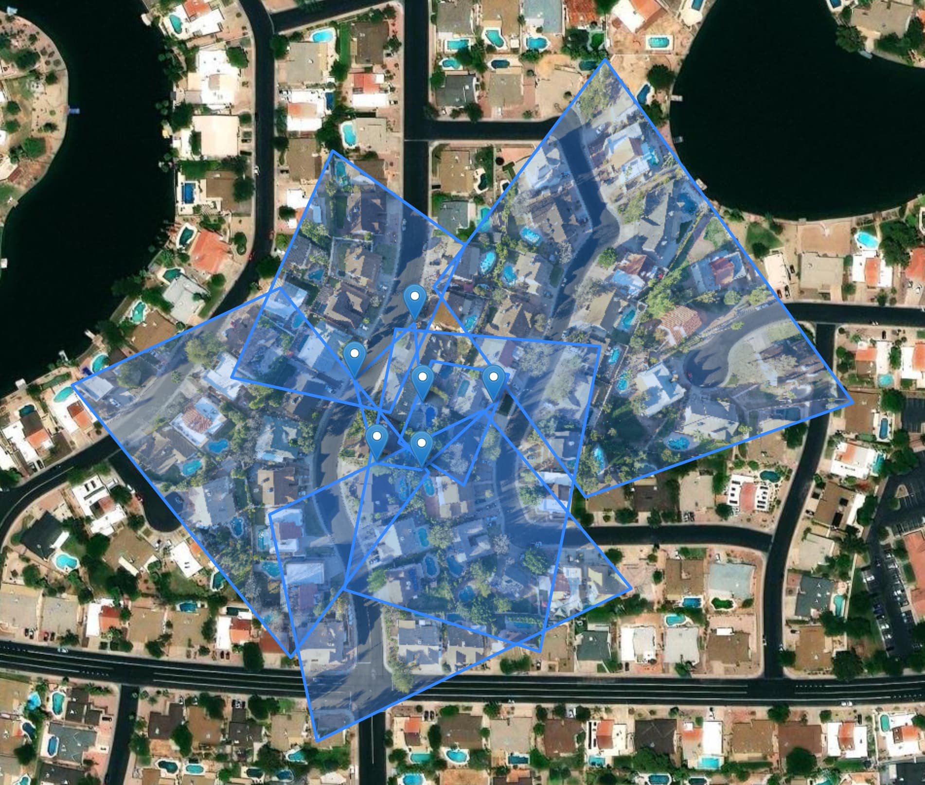
Here’s a very poor example:
The application DOES process oblique images… to a certain point. The problem is the greater the obliquity, the greater the distortion. At a certain point, it loses all accuracy.
Here’s an acceptable example:
Here’s a very poor example:
Hello y’all,
Thank you @spifftek70 for your contribution. I have been working on a project and your program is exactly what I needed.
I have taken multiple images with a -35 deg angle of a job site, where they want me to place them in a grid for future reference and monitoring. We proposed a photogrammetry survey but the engineers seem to think this would be easier…
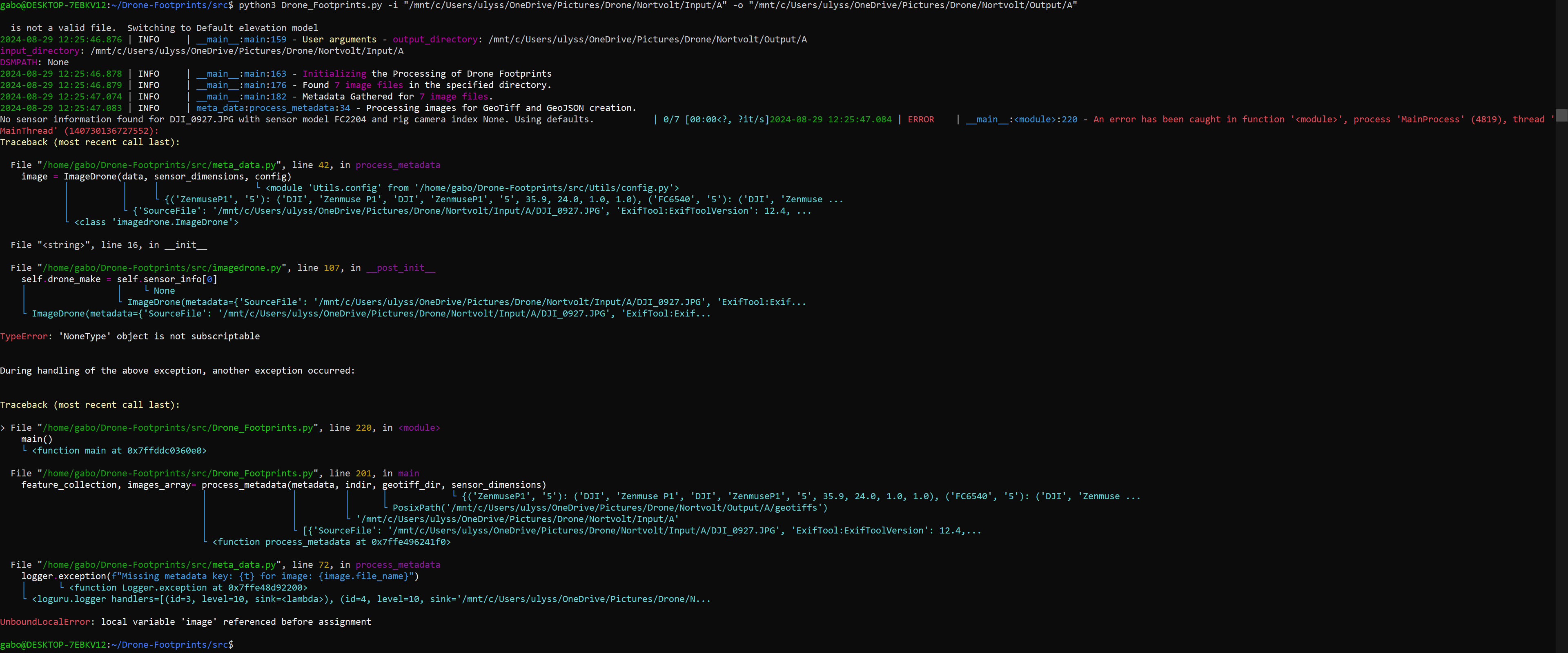
So i’ve spent all morning trying to run drone-footprints.py, first on a cmd line terminal on my windows machine, then in a conda env where i was able to succesfully instal gdal libs and finally on a linux terminal where it brought me the further i was capable of going so far but it seems the program couldn’t go further without my drone camera specs…
Here is an image of my linux terminal :
Here is a sample of the images i was trying to pass through drone-footprints.py : A – Google Drive
im all out of ideas to try and make this work, if you find the time to help it would be greatly appreciated!
Cheers!
I’ve updated the csv file containing the specs for my drone (Mavic 2 zoom) and it worked! Although the images seem to be georeferenced according to the position of the drone and not where it should be on the map, also the polygon looks inverted? like to bottom is larger than the top of the image. in all the examples i’ve seen in this thread it was the opposite…
Hi. Thanks for the kudos. Your test dataset of images is at a steep oblique angle. I’ve added a cut off to the code (not published as yet) that sets it at -60° and 7 of those images you provided are beyond that. I set the cut off there because the at and beyond that angle, the images become too warped and will not match up correctly. The new code to be published SHOULD also fix the inversion issue.
Oh yeah these photos were taken at -35 deg. Thanks for the update!
Hi! Newbie here!
I was looking for a program that could do this for aerial photos taken from a fixed-wing plane. We’re flying over heavily vegetated areas that are very difficult to stitch together, so georectifying each image might be our best option here.
I would like to test this repo on such images to see if that can work. First, do you think that script could work? All photos have EXIF data and I even have a more detailed csv file with x,y,z coordinates as well as roll, pitch, yaw, omega, … for all photos. Second, do I need to add my camera’s specs to the drone_sensors.csv to use this on my data?
Thanks, I’m excited to try this tool!
Hey, this python program could work for you decently well but doesn’t account for changing terrain within a single image. If you’re able to share the images I could process them for you. Alternatively check out GitHub - NorthStarUAS/ImageAnalysis: Aerial imagery analysis, processing, and presentation scripts. (or the drone mapping in ArcGIS which is similar and requires minimal tie-points). They both use ‘rubbersheeting’ which uses know topography to account for changing elevation.
that being said the program only takes input images that have location and imu data stored as metadata and can’t read from a .csv file. I might be able to script something on my end though to get it to work
For those of us (speaking personally, here) that are not Linux savvy, is there a way for the Windows installed users of WebODM to use this image footprint tool?