Hey Amigos,
For an academic research Im looking for drone video footages taken in a “free” route, meaning that it was not created in a classic manner for mapping products, but either a “fly through” or “scene exploration” - gimbal angles can vary from both “pitch” and “roll”, even to footages of 60-90 degrees from nadir (close to horizon).
In addition, Im really curios to validate the AT stage of ODM when dealing with such dataset. I will be happy to hear any insights or experiences if exists.
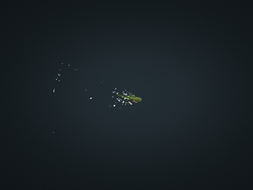
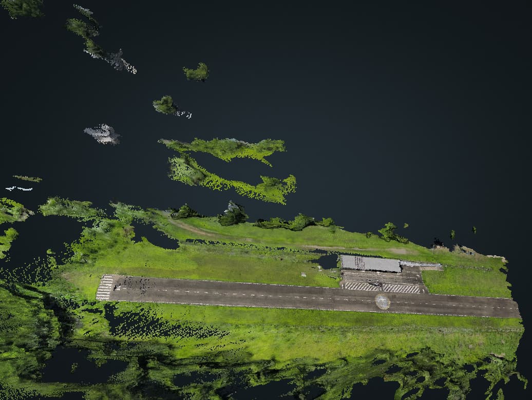
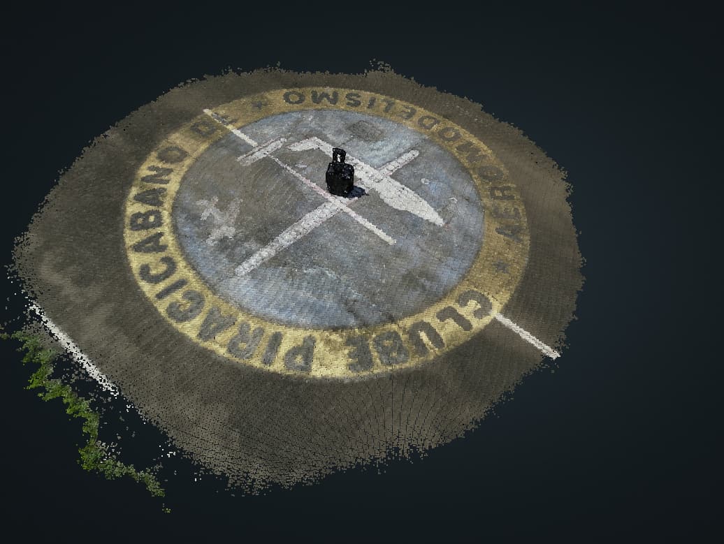
I’m not sure if I can share with you my dataset, but I made a processing of a MP4 video made with our Mini 3 Pro following a similar flight plan that you described, and here is the results: