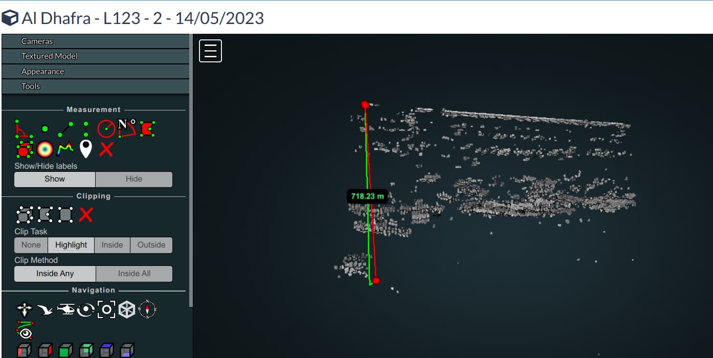
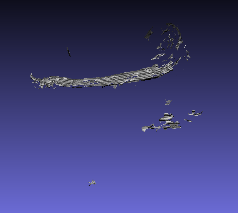
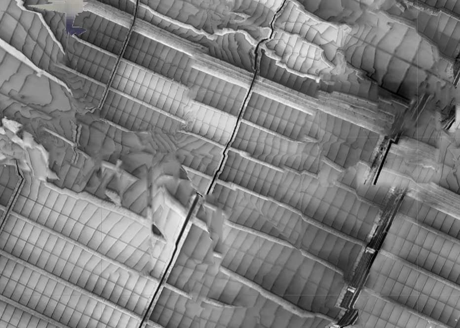
I’ve had a few goes at this, one produced an ortho with a bit less distortion than your image above, but the others failed, telling me my Graphics card drivers were out of date (they aren’t) and then running out of memory, which is very strange, as I don’t see that error with 389GB of RAM (96GB) + virtual memory, with much larger tasks.
I also noted that only a small number of features were being found, even going to very low thresholds (I think well into noise) only ~3-4000 features being detected.
However the time it worked, it did produce a single reconstruction, even though it is very messy.
Image Band Count/Type (BGR [3], BGRN [4], etc) - Grayscale IR images have a single channel and represent the intensity or temperature values. There is no color information in these images. There is only one band representing the intensity of the infrared radiation.
Flight Plan (Grid, Cross-grid, Corridor, Orbit, Free-Flight, etc) - The flight plan was a corridor Mission, however, we collected the corridor mapping with a 17meter distance between the flight path lines, which will be around 42% of side overlap at 4.5Cm/Pix
Flight Plan Frontal Overlap and Sidelap - Frontal Overlap of 60% and Side overlap of 42%
Flight Plan Ground Sample Distance (GSD) - GSD-4Cm/Pix
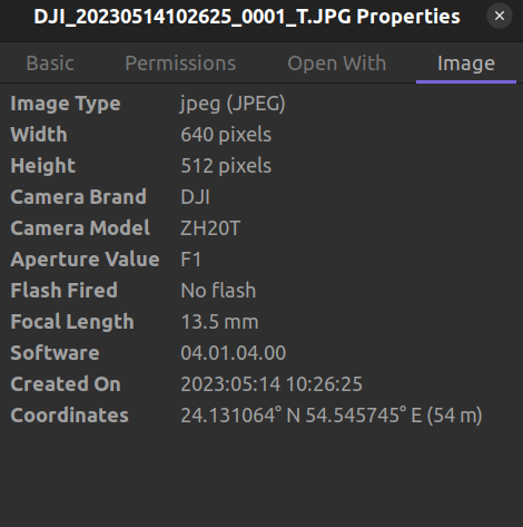
Also attaching properties and exif data for one of the image for a quick glance
EXIF Details
ExifTool Version Number         : 12.40
File Name                       : DJI_20230514102625_0001_T.JPG
Directory                       : .
File Size                       : 1175 KiB
File Modification Date/Time     : 2023:06:05 10:28:28+05:30
File Access Date/Time           : 2023:06:08 12:51:40+05:30
File Inode Change Date/Time     : 2023:06:06 09:30:42+05:30
File Permissions                : -rw-r--r--
File Type                       : JPEG
File Type Extension             : jpg
MIME Type                       : image/jpeg
Exif Byte Order                 : Little-endian (Intel, II)
Image Description               : default
Make                            : DJI
Camera Model Name               : ZH20T
Orientation                     : Horizontal (normal)
X Resolution                    : 72
Y Resolution                    : 72
Resolution Unit                 : inches
Software                        : 04.01.04.00
Modify Date                     : 2023:05:14 10:26:25
Y Cb Cr Positioning             : Centered
F Number                        : 1.0
Exif Version                    : 0230
Date/Time Original              : 2023:05:14 10:26:25
Create Date                     : 2023:05:14 10:26:25
Components Configuration        : Y, Cb, Cr, -
Aperture Value                  : 1.0
Max Aperture Value              : 1.0
Flash                           : No Flash
Focal Length                    : 13.5 mm
Warning                         : [minor] Bad MakerNotes directory
Flashpix Version                : 0100
Color Space                     : sRGB
Exif Image Width                : 640
Exif Image Height               : 512
Interoperability Index          : R98 - DCF basic file (sRGB)
Interoperability Version        : 0100
File Source                     : Digital Camera
Scene Type                      : Directly photographed
Digital Zoom Ratio              : 1
Focal Length In 35mm Format     : 58 mm
Contrast                        : Normal
Saturation                      : Normal
Sharpness                       : Normal
Device Setting Description      : (Binary data 4 bytes, use -b option to extract)
Serial Number                   : 1W9DJ8P001DJV3
Lens Info                       : 13.5mm f/1
GPS Version ID                  : 2.3.0.0
GPS Latitude Ref                : North
GPS Longitude Ref               : East
GPS Altitude Ref                : Above Sea Level
GPS Status                      : Measurement Active
GPS Map Datum                   : WGS-84
XP Comment                      : 0.9.142
XP Keywords                     : single
Compression                     : JPEG
Thumbnail Offset                : 1178
Thumbnail Length                : 10474
About                           : DJI Meta Data
Format                          : image/jpg
Image Source                    : InfraredCamera
Gps Status                      : RTK
Altitude Type                   : RtkAlt
Absolute Altitude               : +54.409
Relative Altitude               : +49.986
Gimbal Roll Degree              : +0.00
Gimbal Yaw Degree               : +179.60
Gimbal Pitch Degree             : -89.90
Flight Roll Degree              : +3.50
Flight Yaw Degree               : +179.20
Flight Pitch Degree             : -2.50
Flight X Speed                  : 0.0
Flight Y Speed                  : 0.0
Flight Z Speed                  : 0.0
Cam Reverse                     : 0
Gimbal Reverse                  : 0
Self Data                       :
Rtk Flag                        : 50
Rtk Std Lon                     : 0.01132
Rtk Std Lat                     : 0.01110
Rtk Std Hgt                     : 0.02238
LRF Status                      : Normal
LRF Target Distance             : 51.190
LRF Target Lon                  : 54.5457458
LRF Target Lat                  : 24.1310635
LRF Target Alt                  : -1.223
LRF Target Abs Alt              : 3.200
Version                         : 7.0
Has Settings                    : False
Has Crop                        : False
Already Applied                 : False
MPF Version                     : 0100
Number Of Images                : 2
MP Image Flags                  : Dependent child image
MP Image Format                 : JPEG
MP Image Type                   : Large Thumbnail (VGA equivalent)
MP Image Length                 : 264425
MP Image Start                  : 938949
Dependent Image 1 Entry Number  : 0
Dependent Image 2 Entry Number  : 0
Image UID List                  : (Binary data 66 bytes, use -b option to extract)
Total Frames                    : 1
Thermal Data                    : (Binary data 655360 bytes, use -b option to extract)
K1                              : -184.669998168945
K2                              : 21.2401008605957
K3                              : 858.638977050781
K4                              : 0
KF                              : 79.6526184082031
B1                              : 0
B2                              : -910
Object Distance                 : 5
Relative Humidity               : 70
Emissivity                      : 100
Reflection                      : 230
Ambient Temperature             : 21
D2                              : -945
KJ                              : 100
DB                              : 0
KK                              : 449
Thermal Calibration             : (Binary data 32768 bytes, use -b option to extract)
Image Width                     : 640
Image Height                    : 512
Encoding Process                : Baseline DCT, Huffman coding
Bits Per Sample                 : 8
Color Components                : 3
Y Cb Cr Sub Sampling            : YCbCr4:2:0 (2 2)
Aperture                        : 1.0
Image Size                      : 640x512
Megapixels                      : 0.328
Scale Factor To 35 mm Equivalent: 4.3
Thumbnail Image                 : (Binary data 10474 bytes, use -b option to extract)
GPS Altitude                    : 54.4 m Above Sea Level
GPS Latitude                    : 24 deg 7' 51.83" N
GPS Longitude                   : 54 deg 32' 44.68" E
Preview Image                   : (Binary data 264425 bytes, use -b option to extract)
Circle Of Confusion             : 0.007 mm
Depth Of Field                  : 1.99 m (4.20 - 6.18 m)
Field Of View                   : 34.5 deg
Focal Length                    : 13.5 mm (35 mm equivalent: 58.0 mm)
GPS Position                    : 24 deg 7' 51.83" N, 54 deg 32' 44.68" E
Hyperfocal Distance             : 26.06 m
I am curious mostly for my own knowledge if you are attempting to create a ortho of this site then why use the thermal images instead of the regular 12mp images this camera is capable of?
Hi, unfortunately, getting images with higher side overlap of same solar plant was not possible.
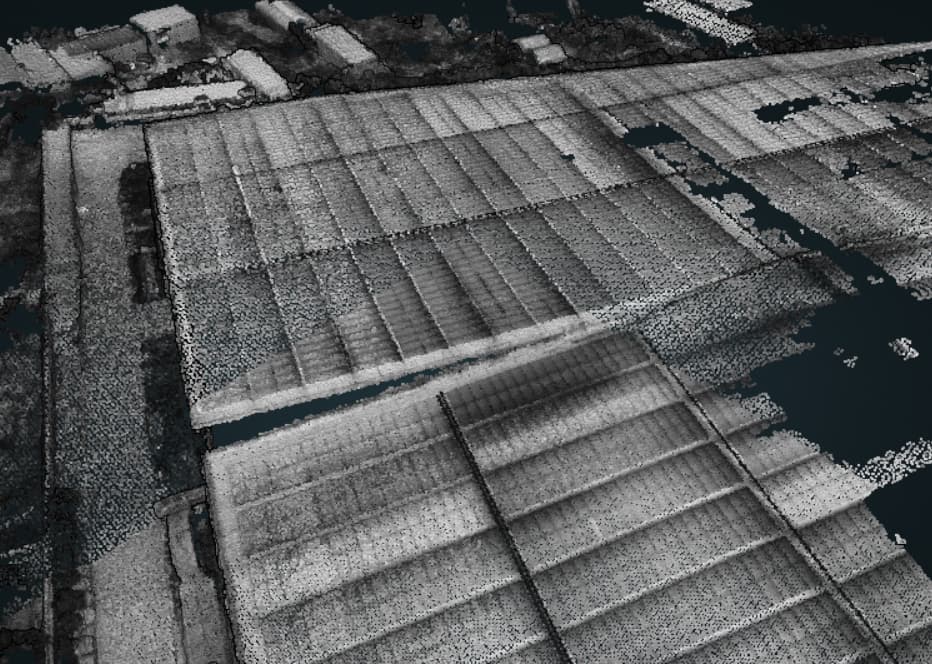
But I was able to get my hands on another dataset with ~80% front and ~60% side overlap and was able to get much better point cloud and ortho for most part.
I was wondering if I can apply wallis filter which adjusts brightness values in local areas so that the local mean and standard deviation match user-specified target values, which in turn, may help in identifying more key points for better matching images.
But I’m unable to process the dataset with error - The camera directions mean is unbalanced; the scene will be considered unbounded (no ROI).
I had also checked that EXIF data is copied to wallis images for geo-referencing as suggested here.