Hello, I’m afraid I’m a real novice to this!
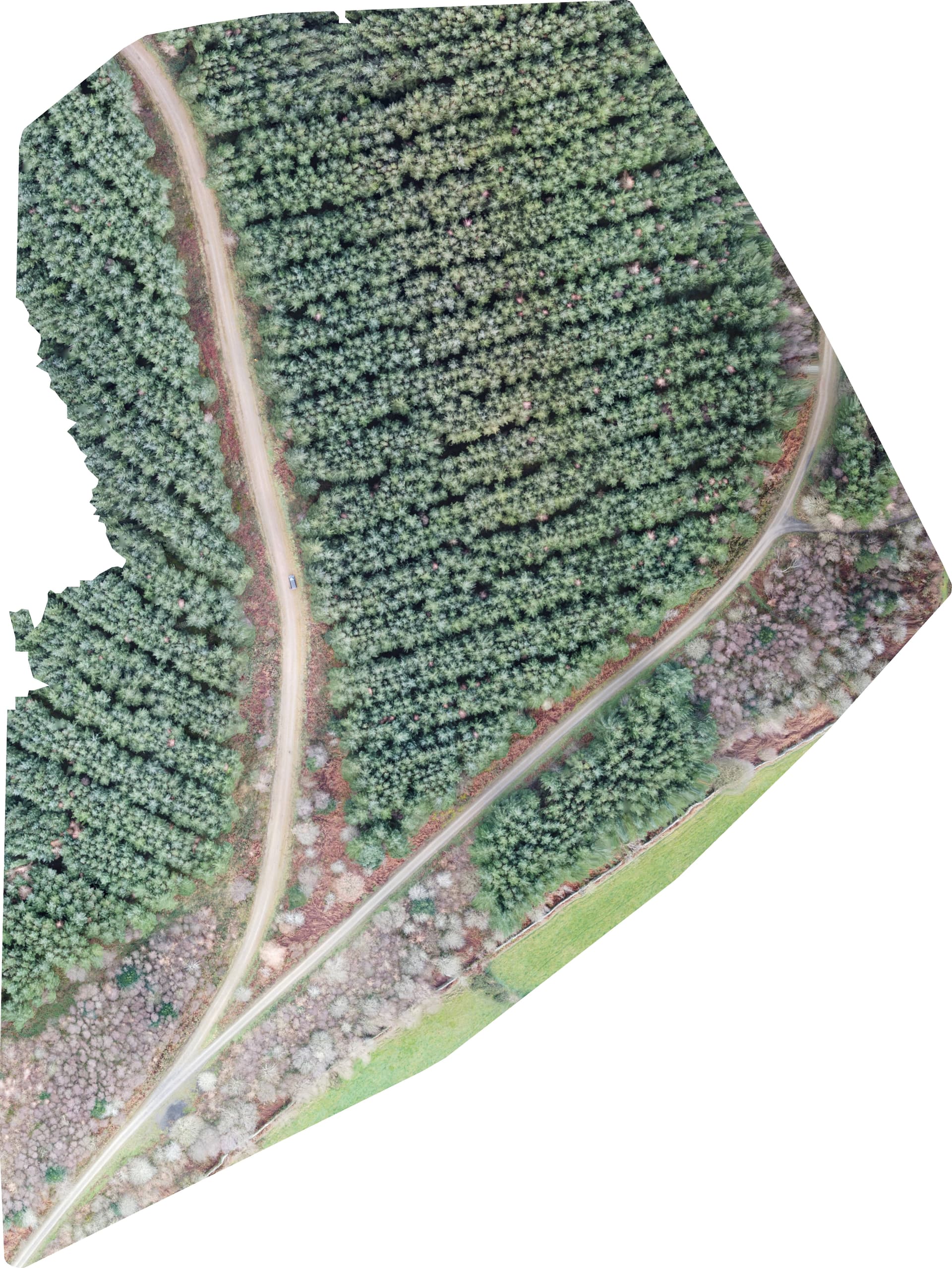
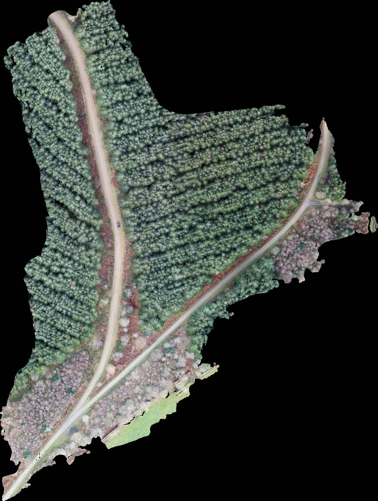
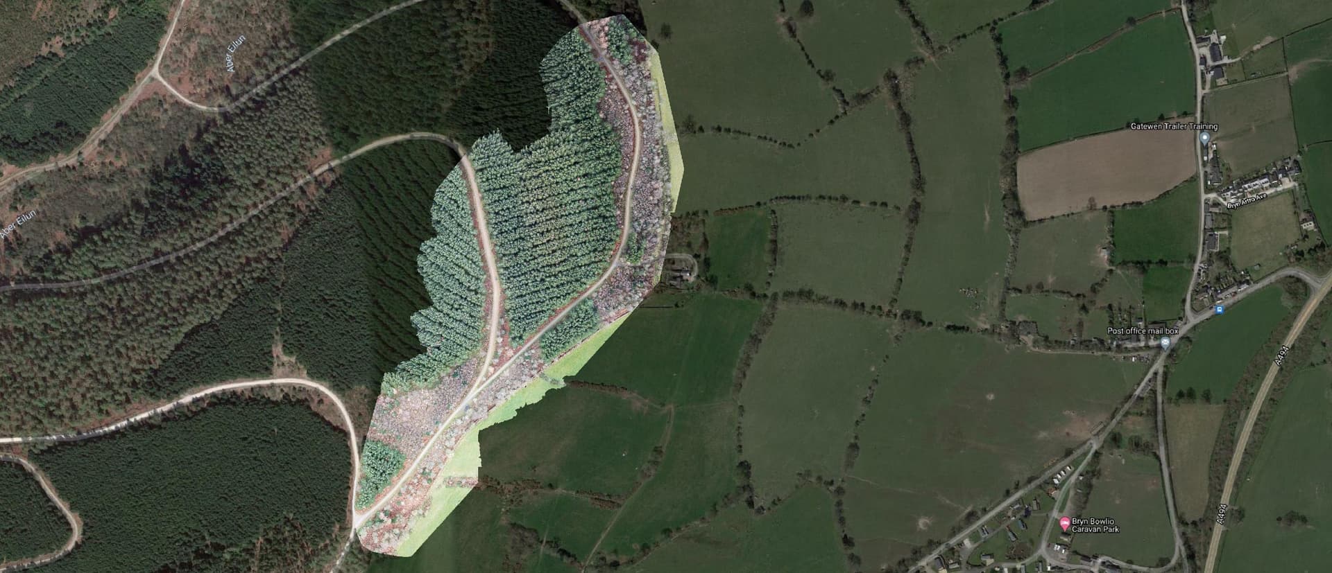
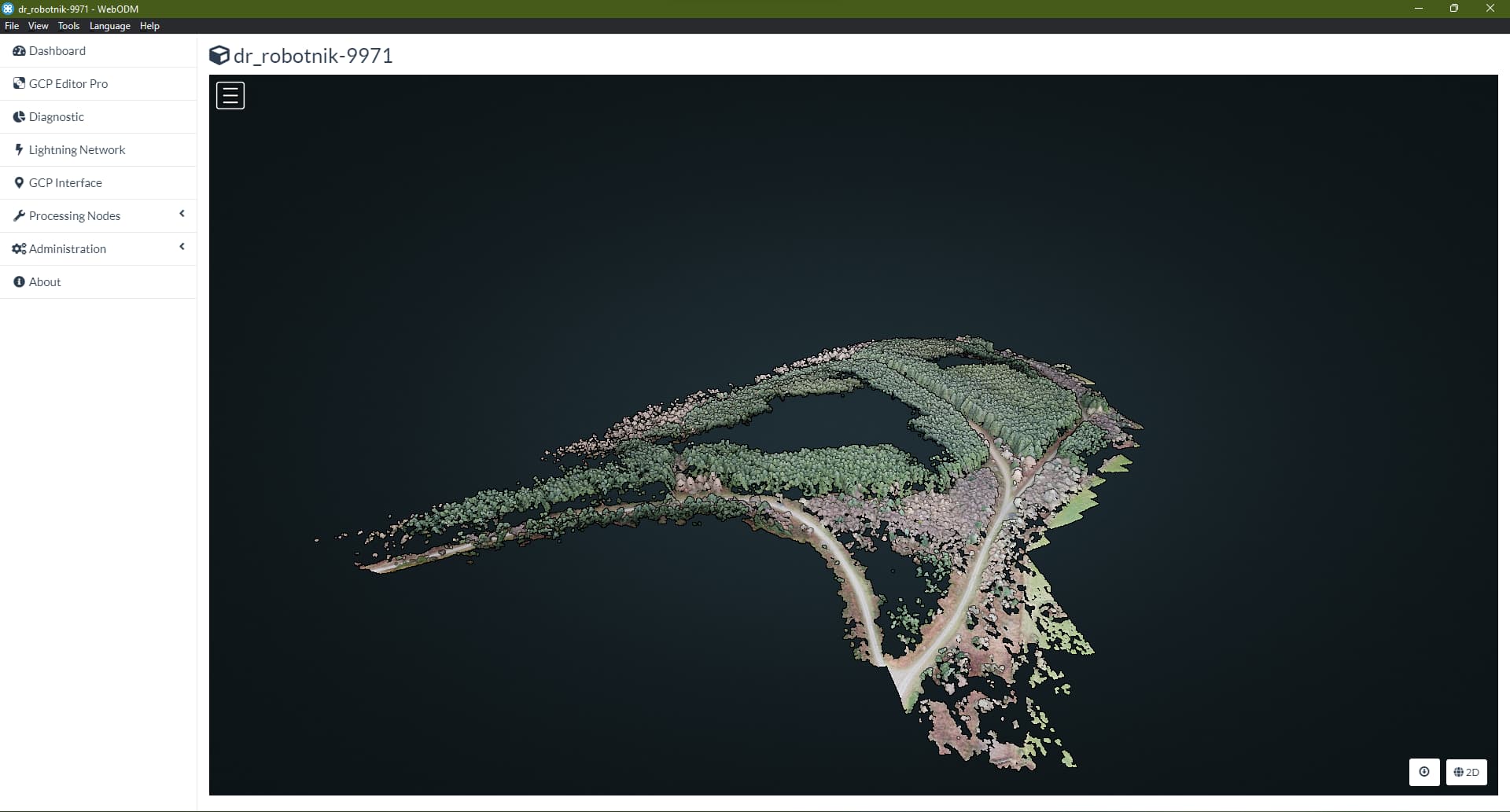
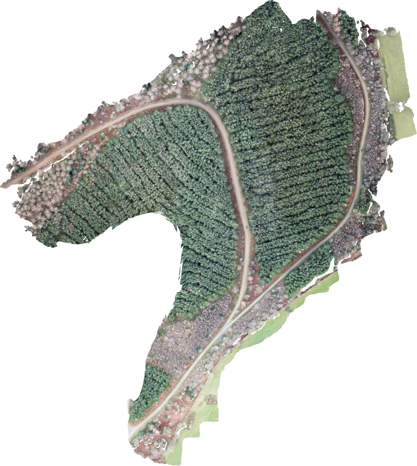
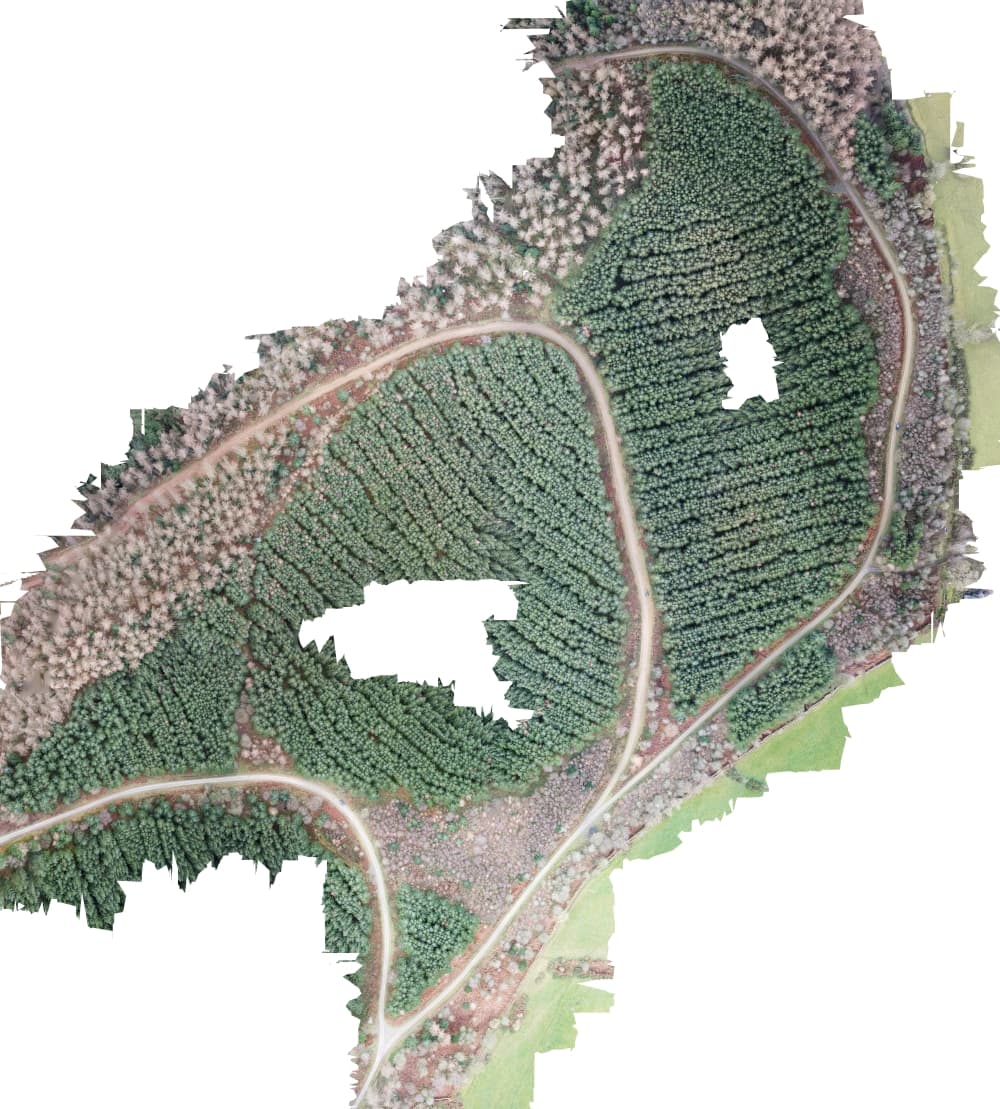
I’m hoping somebody might be able to help, for some reason I keep getting incomplete orthophotos and I’m using the default settings in webODM. My result is below and the images are here: https://www.dropbox.com/sh/wxmu184u267zf01/AABw5owVd3PAl9By1zAFIJD2a?dl=0
The area was flown at 100m with 75% overlap front and side.
export settings: Created on: 1/1/2022, 11:41:48 PM Processing Node: node-odm-1 (manual) Options: ignore-gsd: true Average GSD: 5.67 cm Area: 372,501.83 m² Reconstructed Points: 1,508,045
with all those trees looks quite homogenous landscape, which from what I have read requires much more overlap compared to non homogenous. what does the ODM report show for matches between images?
with my p4p at 100m altitude I would need to space images at 30 meters to the side and 20 meters for front at overlap of 80%. I imported your images to qgis and it looks like your side overlap was around 37 meters and front overlap around 24 meters. which camera are you using?
with that camera and a 80% overlap it should be closer to 27 meter side overlap and 20 meter front overlap with 4:3 aspect ratio images. But also since the landscape is homogeneous it might be to reduce it even further. If you can deal with a higher GSD flying higher altitude will help.
what flight app do you use? in litchi you can set the interval for taking images to meters instead of seconds. Just a suggestion but i noticed your images are using a 16:9 aspect ratio and your camera is capable of a 4:3 ratio. by using 16:9 you are cropping the images from the get go. Hope this helps.
Just looking through some of the images, and I think I see the problem- some out of focus, but a lot with motion blur - shutter open too long for the drone speed.
Additionally, checking image properties, a lot of exposures are 1/15, 1/20 and 1/30 second, way too short to have sharp images, made worse by using the lens wide open at f/2.8, which is never going to be all that sharp across the full image. ISO set to 100 is too low for the low light conditions, ISO 400 would have been a better choice under these conditions.
I’m going through eliminating unsuitable images, not sure I’ll end up with enough overlapping images for a good ortho.
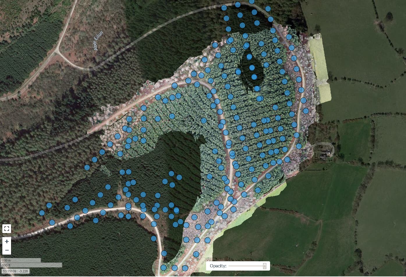
My ortho attempt, showing the photos I thought I could use, with the most blurry ones removed, but almost all of the remaining ones showing motion blur.
Thanks so much for your help, much appreciated, I’m learning a lot here, I had no idea that the camera was resetting to 16:9 and didn’t properly consider the relationship between flight speed and shutter speed.
I have flown the area twice previously, again at 100m altitude with 75% front and side overlap but unfortunately it was too late in the day and failing light conditions meant I couldn’t fly the whole area. And again at 80m latitude but only 60% overlap front and side, both of those sets of images are now also in my dropbox folder. Unfortunately, permitting restrictions mean that I am unable to access the area for at least another 6 months, so I’m wondering whether the extra images I have collected can be combined in some way so that I have at least a complete orthophoto of the whole forest stand?
Oh, yeah, if the plan is assuming normal 3:2 aspect ratio and it is on 16:9, you’re going to have a really difficult time with reconstruction (alongside the other issues).
Are you able to set your ISO and shutter speed to automatic? It should make things a bit easier to manage for planning.
There is a non-determinisitic aspect to feature detection and extraction that might play into things a bit. That being said, it shouldn’t be terribly different. Is this the first/original dataset you uploaded, or one of your subsequent ones?