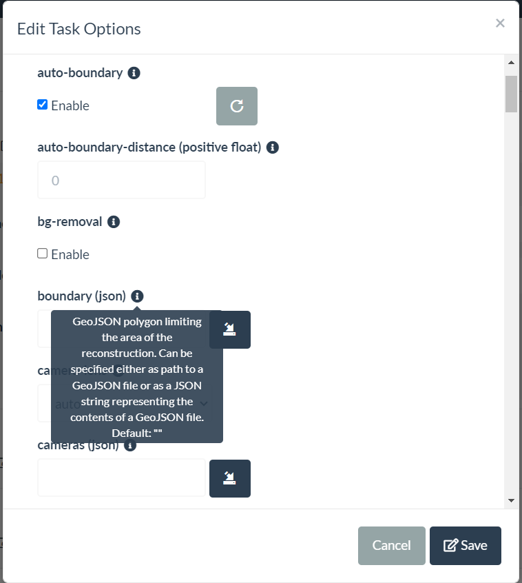
two ways you can accomplish this. first you can include in the processing of ODM a boundary file in the form of a geojson type. if you go this route set crop to 0. Or and a bit easier is to just use qgis to clip the raster by mask layer after processing is done. Hope this helps.
I wouldn’t doubt there is a possibility of automating this process, but there is not currently to my knowledge a process in place. so you would need to manually create a boundary file and include in the ODM by selecting it in the boundary parameter. There are instructions on how to do this in the ODM documentation.
in qgis yes you have to manually create the singleparts polygon and clip the raster by that layer.
If memory serves me (and I haven’t looked at the code for this in a few years), this will calculate the convex hull of the input camera positions for you.
Also, give it a run on some test data and see what it looks like vs. manual!
Thanks mate, great shout, I did think about this previously but didn’t know how accurate it would be, will add this into my code this week and let you know how it goes.
Another idea I had was to use pre-defined Field Boundaries from some Mapping companies and send the average GPS coordinates of my fields to their API which would return a GeoJSON I could then attach to my container, however it looks like this could incur additional costs.
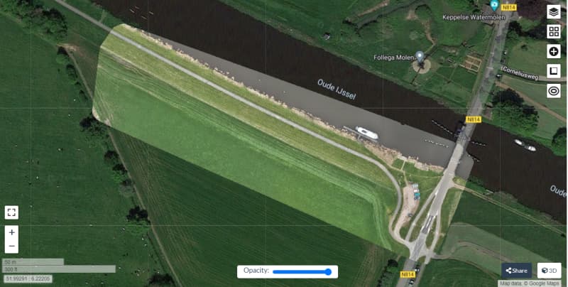
Yep this is a great idea and works well but I’m aiming for a fully automated workflow at the moment, I’m working with a farm that has 57 fields and then another soon that has 80 fields so I was looking for an approach that can detect the field boundary automatically using python.
If I can’t get that working I’ll use your suggestion for now so thank you!