I’m a bit lost.. and wondering if I’m in the right place? I’m looking at buying a drone and using it to capture ground contours, as well as an image, and then use these to overlay garden designs onto?
Would appreciate if someone could point me in the right direction?
I would say yes for your case. you can easily use a drone to overfly a house lot and recieve an orthophoto. depending on what program you want to use after
if the ground is clear of vegetation, except low grass you can get a surface model
if the terrain is rolling you can get pretty good results, but you will have to ground truth
for example… if you know the house is 40ft x 60ft, you will need to make sure the results jive.
the tolerences will be based on your acceptable need and work checking
i will say as an engineer myself there is no way a ground survey crew can collect the number of points photogrammetry does. if done correctly you should easily be able to find the finished floor of a stoop, driveway paved road and similar features… you will need some type of cad program or photo-shopping program or QGIS to manipulate the images or point clouds… Hope that helps
what is your location… I am using the dji mini 4k… it is $300 for just the drone and 1 battery… $450 with 3 battery and carrying case called fly-more combo… I would recomend this one because the battery is like $90 a peice… so you basicly pay for the batteries and get the rest for free i get from amazon directly from dji amazon page
it is not so much the vegetation as the height… for example if you fly over a crop.. a farm field.. it is going to be wild, but you could still be able to see grades between the rows
Yes, correct, an aerial image of a garden around a house. I import the image into my software and then trace out the different spaces to use as a base plan to design a new garden from. If I could get some levels it would be really helpful. I don’t need total accuracy.
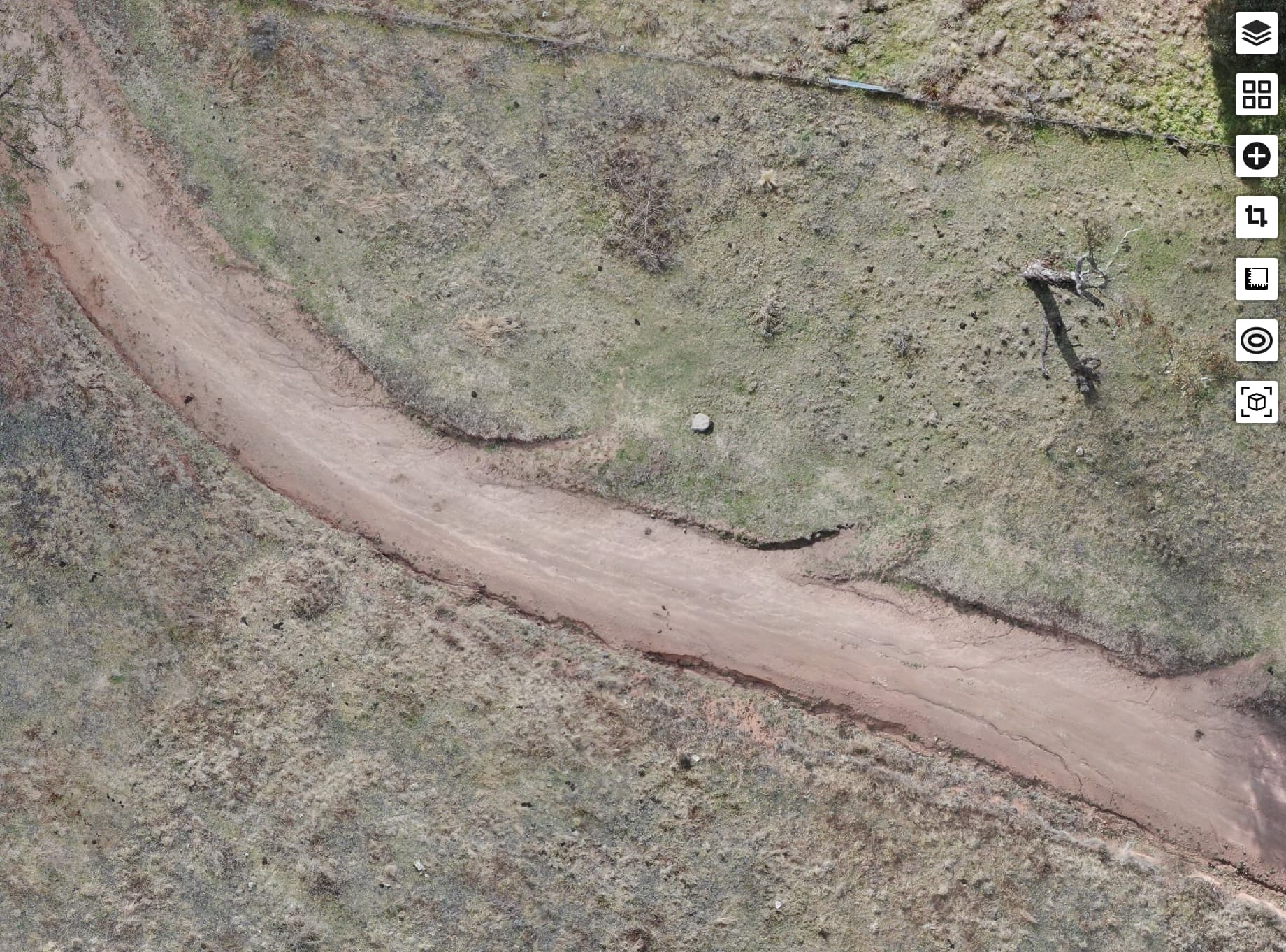
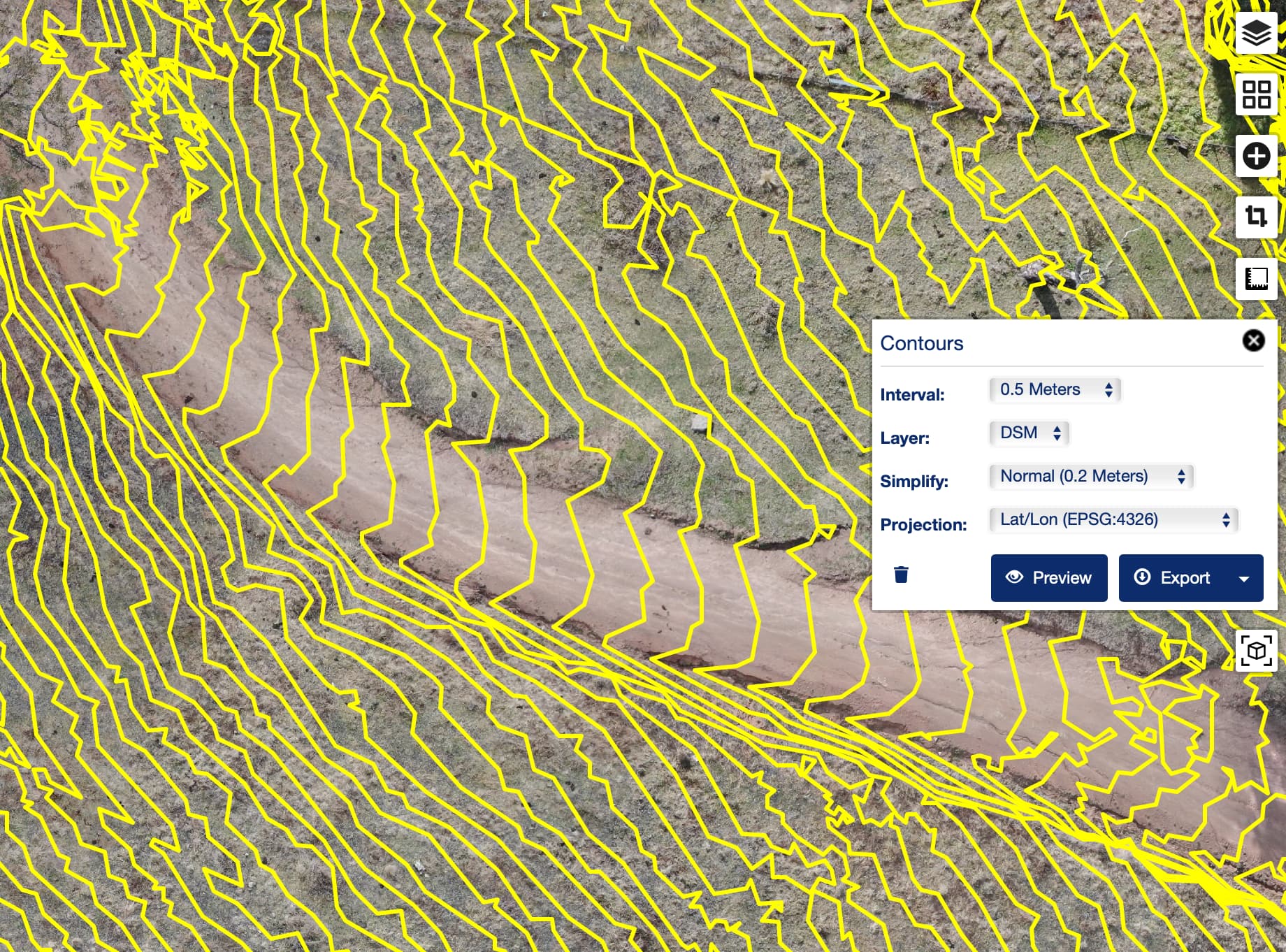
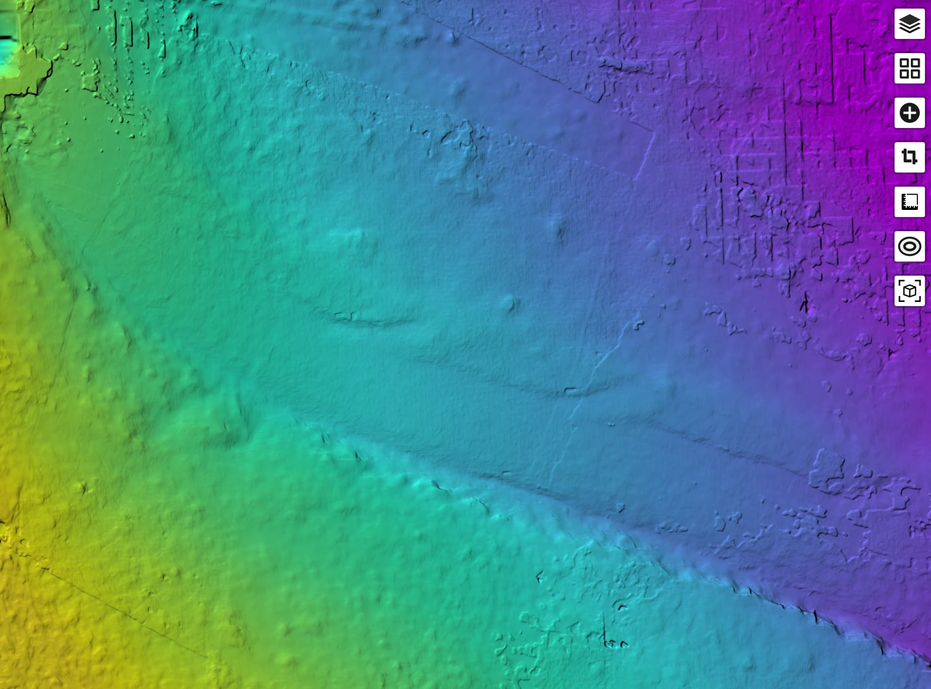
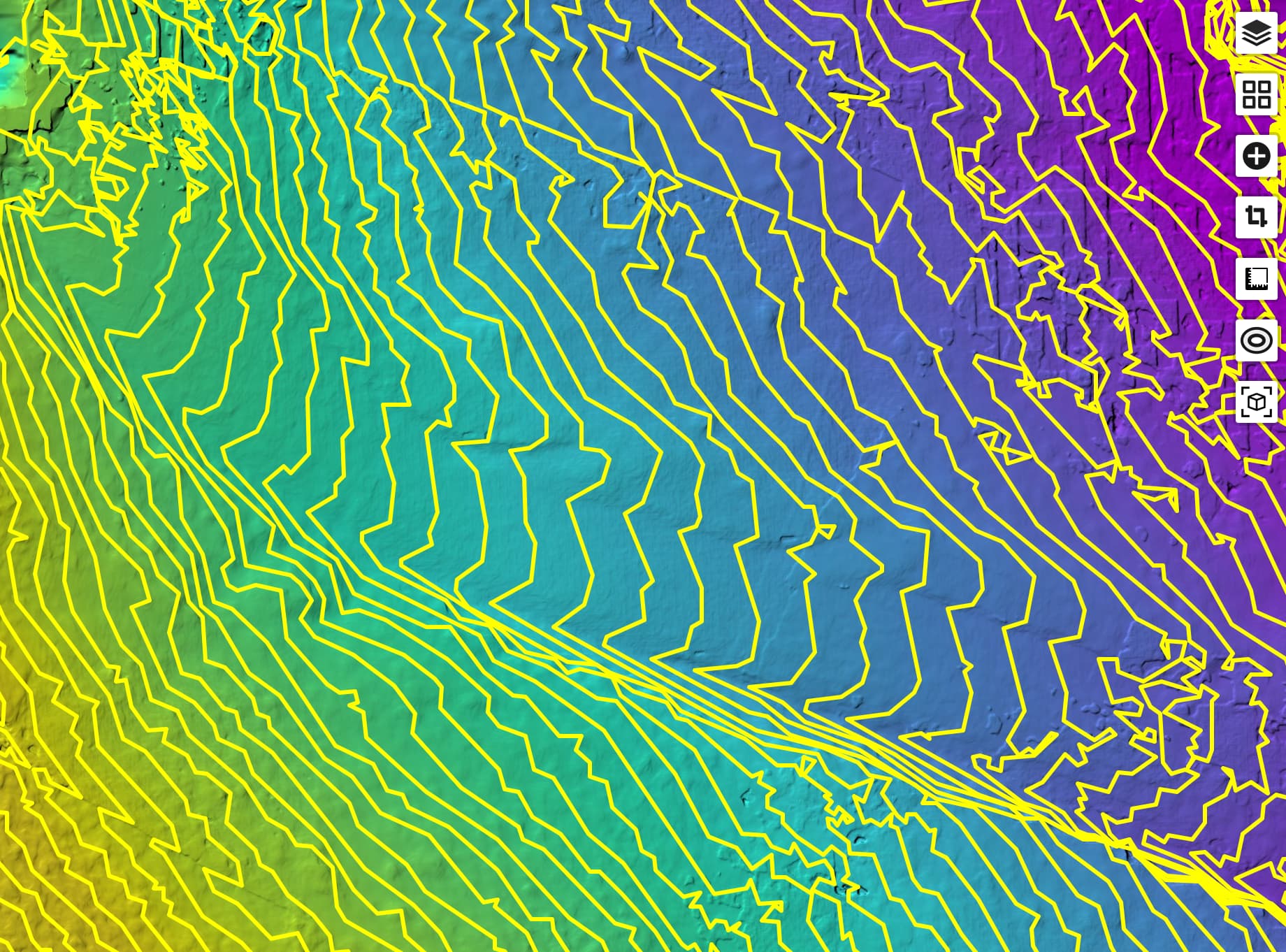
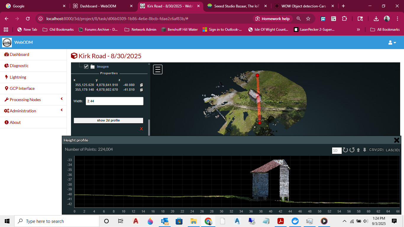
In case this is helpful, here’s some artefacts I generated from one of my existing projects to give you an idea of the kinds of things you might be able to produce:
You need Photos taken by a drone with 85% overlap. Photos should have GPS tags to reduce processing time. You will want ground control points to ensure the system can figure out the difference between ground and vegetation.
If you’re starting completely new, you should probably start here with baby steps: https://docs.webodm.net/
If you don’t know how to use complex software, the above is the best entry point. The general logic is as follows: The drone takes a bunch of pictures that overlap one another, which allows the ODM to generate a complete 2d and 3d picture of the area. However, it doesn’t often know where “dirt” is vs where “grass” is because it uses the speed at which objects move past the camera, so grass will show up as ground unless you can use Ground Control Points to identify ground. But that only controls some amount of both vertical reference and geographic reference (think lat/lng coordinates).
It’s a lot to understand to be able to do this routinely, so if none of this sounds familiar, it’ll take atleast a year to reliably do this.