Dataset URL (Dropbox, Google Drive, GitHub…): Dropbox
Number of images: 808
Size in MB:6,700
EXIF GPS (yes/no):Yes
GCP (yes/no):no
RTK (yes/no):no
Comment/Description:
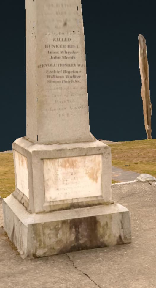
This was taken with the Autel Evo2 Pro drone about 2 years ago. When 3d model is rendered, the stone monument in the center appears with the most detail. I took many shots of this. Multilevel orbits that captured nice detail down to the engravings on the side.
I rendered it on webodm.net. The whole process with model and maps took 1 hour and 16 minutes, which I think is pretty awesome for 808 pics!
Seeing the difference between the monument and other areas, the key thing obviously is getting plenty of coverage and the right coverage… Work your way inwards to aid in alignment to preserve the most detail.
I’d love to see other peoples results with different settings. For the mesh size I set it to 300k This seemed to be the max, correct?

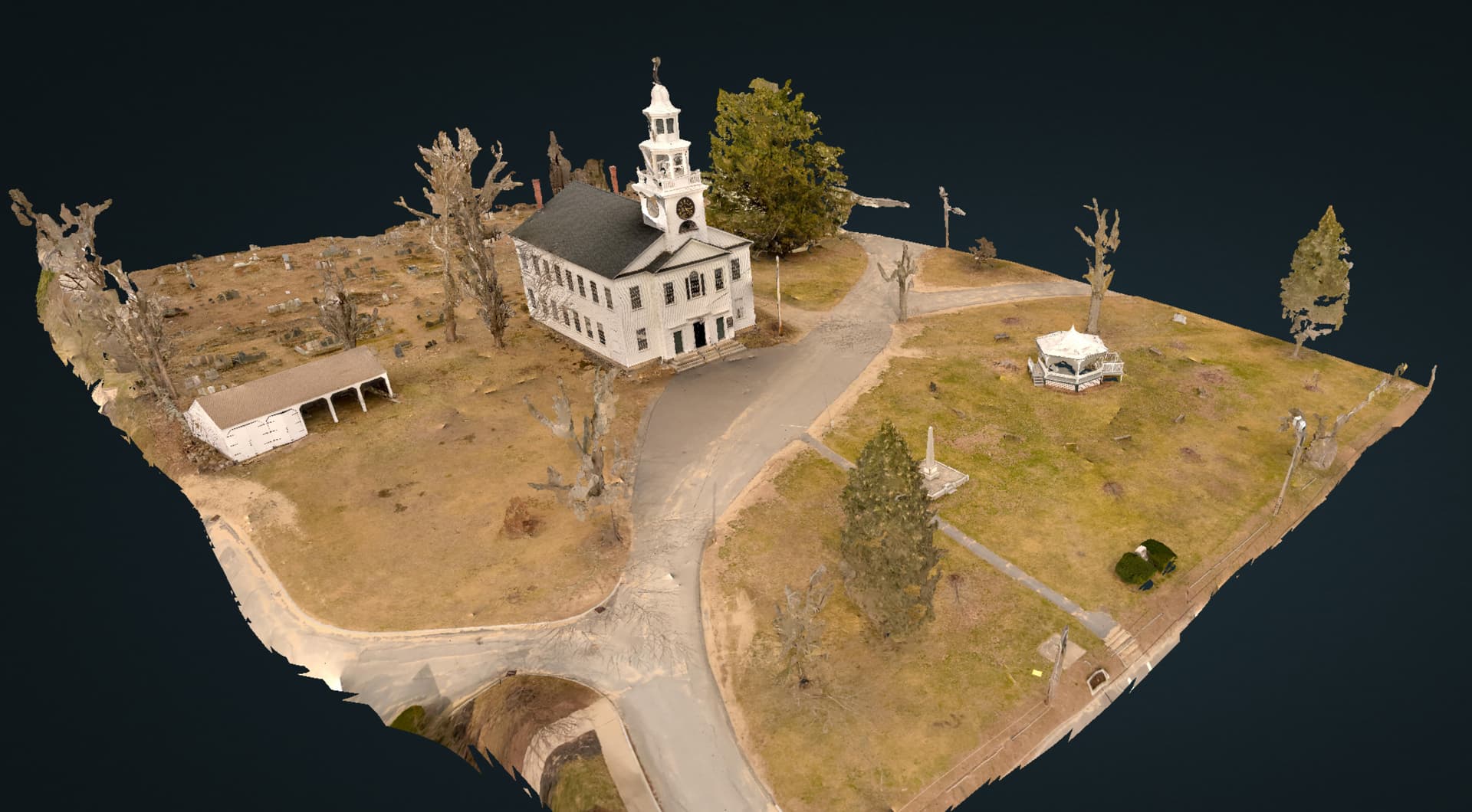
Parts of the church steeple came out poorly, but mainly bad coverage.
And tree branches were projected onto the left side of the church and on the ground in front of the church. But I think if I had closer shots that showed those surfaces without the tree in the way, it would have been a better re-construction.
And another important tip. The first time processing these images, I used RawTherappe. That software strips out the GPS tags which was confirmed at the time. I now use DarkTable which is also opensource and works great and preserves the meta data. So, I had adjusted contrast, saturation, used the local contrast setting and also used Denoise. This cleaned it up a lot!
Hope this data helps!
Harold