Fieldimager looks very promising.
I’m thinking this could be modified for our needs even though what I am working with is forestry. I can see it lets you crop an image, rotate it, draw a box and then split the image into plots for analysis. Really amazing that this is possible. Has anybody used this for forestry analysis?
From what I can see the initial crop area is done manually and it doesn’t seem like the plot gridding tool is controlled with gps or measurements. e.g:
EX1.Shape<-fieldShape(mosaic = EX1.RemSoil,ncols = 14, nrows = 9)
In this image
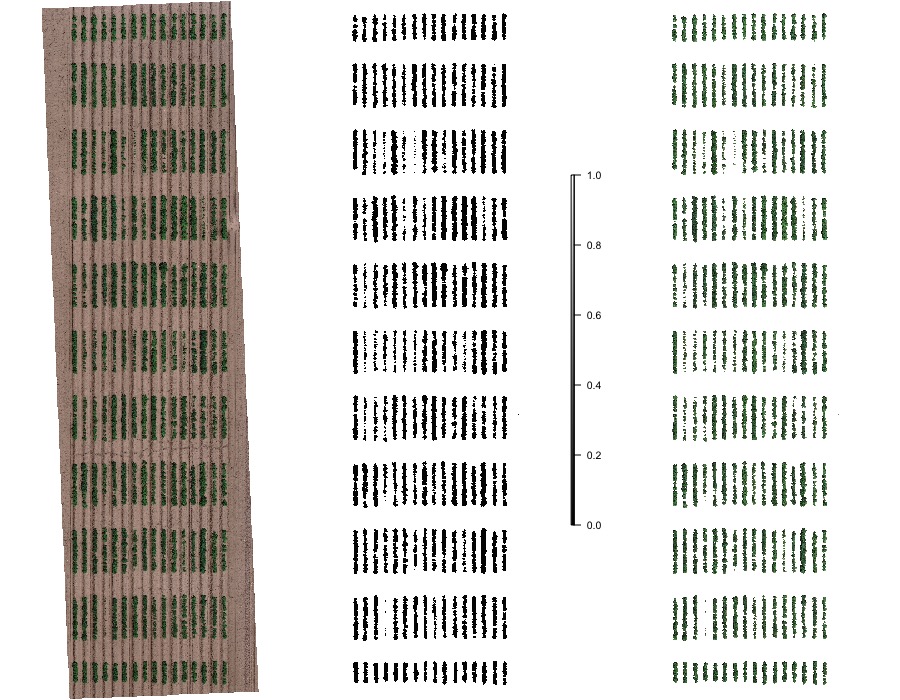
Is that a distance scale? I’m not sure what it is. I’m wondering how I would know if I manually created a mosaic and crop how I’d go about ensuring that each plot is exactly 10m2.
Will keep digging.