Thanks again @smathermather. Yes, I noticed that the parameter to change is depthmap_min_consistent_views. I made new tests tweaking that one and others mentioned in the github thread recommended by you. As far as I can see, ODM generated better results wth --use-pmvs (OpenSfM results were noisy), which I can use for geomorphological mapping. In the following lines, I show some results obtained with PMVS.
A sample photo frame of the Ocoa town, year 2003, from the National Institute for Hydraulic Resources (INDRHI) of the Dominican Republic. This and 5 additional photos were introduced as input to the ODM toolchain:

This is the point cloud (2.5 million points):
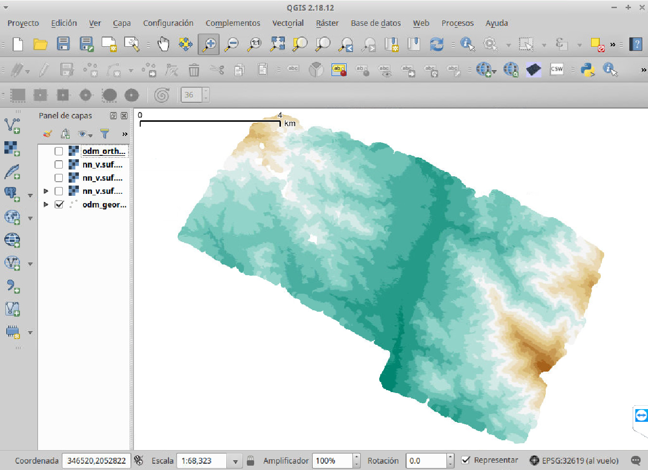
The DEM, 2 m resolution, made with bicubic spline (GRASS GIS):

The DEM with shaded relief:

The orthophoto with shaded relief, 1 m resolution:

Zoom to the orthophoto:

Shaded relief without denoising:

Denoised shaded relief with Sun et al. algorithm:

Profile lines from the original DEM and the denoised one:

And this is the “geomorphon” image, made with Jasiewicz & Stepinski algorithm, which helps me to speed up the digitizing process:
